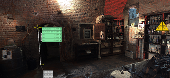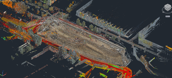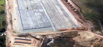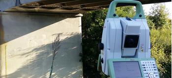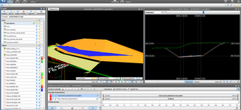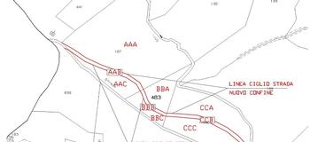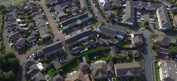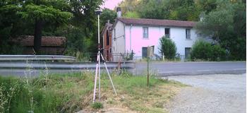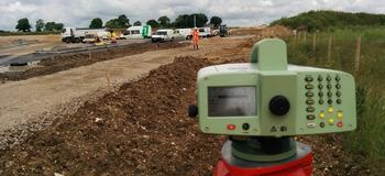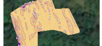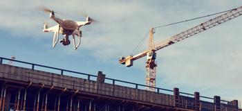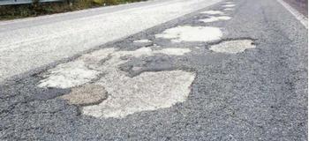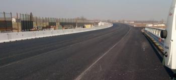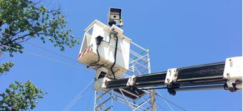
In the field of infrastructures, we are capable of reaching high quality and precision standards in terms of characterisation and geometric and material control of buildings and structures in general, seismic vulnerability studies, territorial surveys following natural events, periodic monitoring of structures and infrastructures using the latest digital technologies on the market.
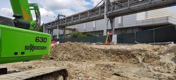
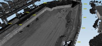
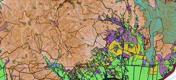
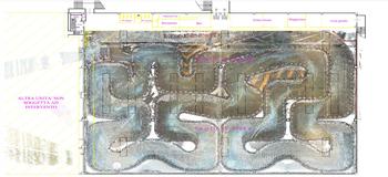
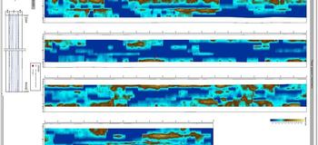
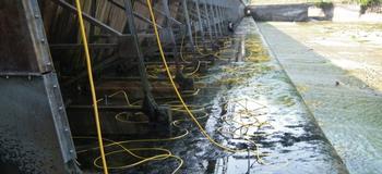
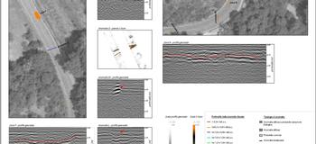
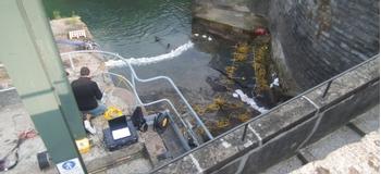
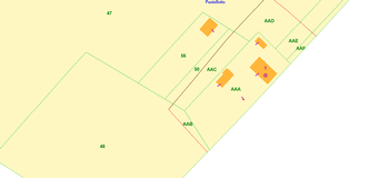
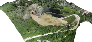
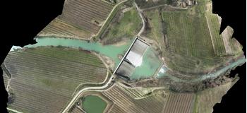
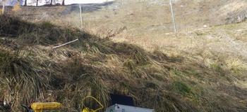
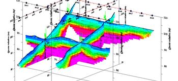
Thanks to integrated data analysis on the territory, on hydraulic reclamation networks, we carry out the collection and re-processing of existing data, the set organisation of the topographic framework system, topographic detection of evidence of underground infrastructural networks, geophysical surveys using GPR (Ground Probing Radar) techniques and dimensional measurements of basins for verifying hydraulic load.