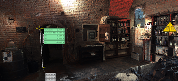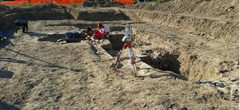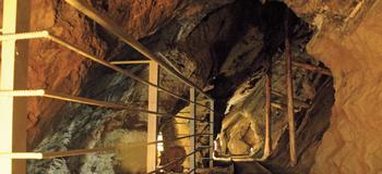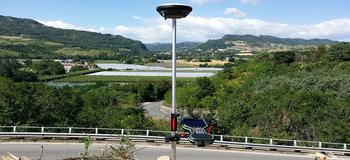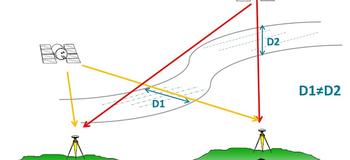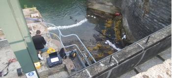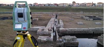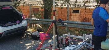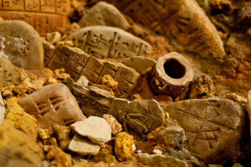
We conduct high-precision surveys of archaeological sites using top-notch equipment and control software, dealing entirely with the processing of the data and the graphic layout for publication.
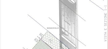
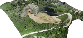
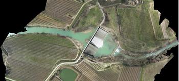
We create maps for restoration interventions and drawings of archaeological artefacts in both raster and vectorial formats, integrating orthorectified photomosaics where necessary.
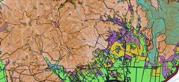
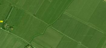
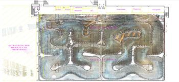
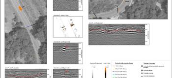
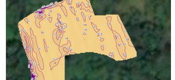
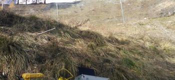
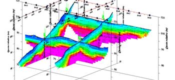
We study the subsoil with georadar and new geophysical techniques to provide a framework of connection between the visible and non-visible.