Special: MyGeo Solution
We provide information to projections for future mining
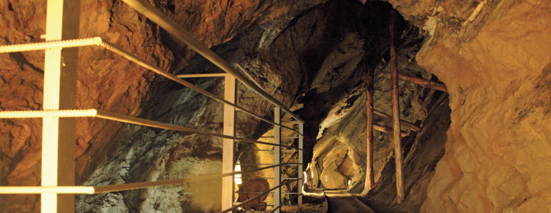
We carry out laser scanner scans, as well as drone and topography for mines and open-pit and underground caves.
From the surveyed data we can obtain a DTM model of the terrain and of the survey area in a short time, a detailed point cloud or elaborate a mesh through which to perform calculations of volumes or surfaces, to extract already vectorized contour lines, to process three-dimensionally videos, or compare today's data with historical data.