Special: MyGeo Solution
We are looking for the best techniques to be used for the dissemination and monitoring of archaeological sites (eg control of the maintenance of decorative equipment, valuable friezes in prestigious buildings, but also outdoor sites), we follow and carefully study the new technologies for the discovery and maintenance of historical data of archaeological sites.
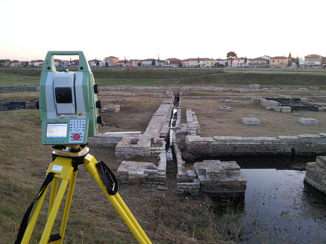
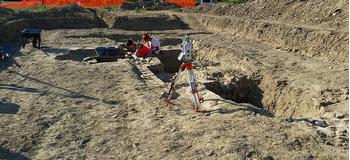
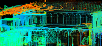
We use software that processes satellite images and perform topographic surveys, 3D laser scans and 3D modeling to provide archaeological discoveries with the best visibility in the world and the best return of the data collected: all this we do for passion and to inform people about the beauty of our territory.
More info and Request estimate
MyGeo Solution Offer is possible for this service.
periodic survey of archaeological excavations