Instrument technology and software for measurements and calculations in Geomatics
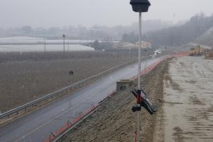
Useful measurements for land and environmental engineering
Our Instrumental Equipment avaliable for use on construction site
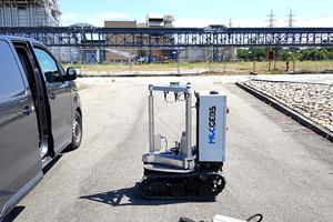
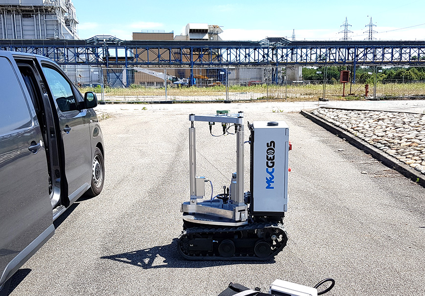
PROTOTYPE (IP)
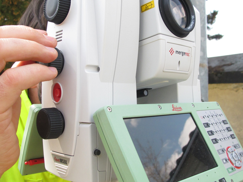
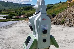
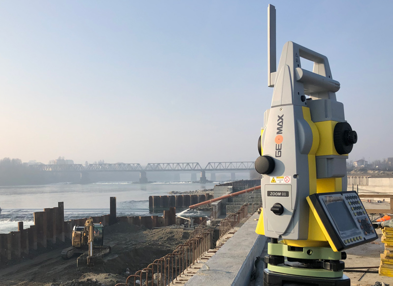
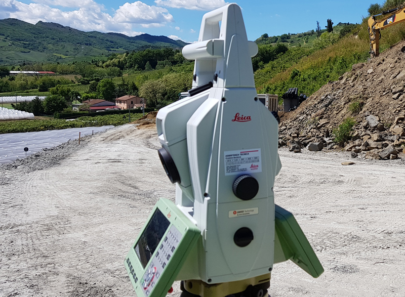
REMOTE CONTROL TOTAL AND MULTISTATION STATIONS
- MS60 Multistation 1” Leica Geosystems anno 2020
- TS60 Motorizzata 0.5” Leica Geosystems
- TPS Zoom 90 1” Geomax
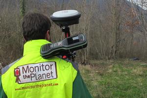
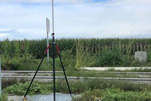
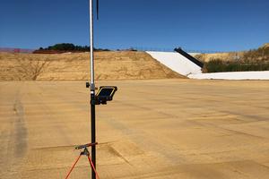
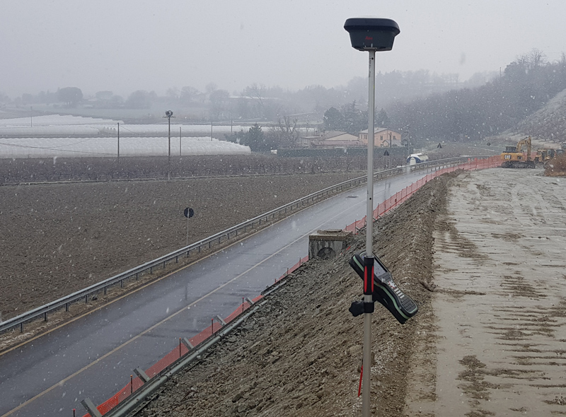
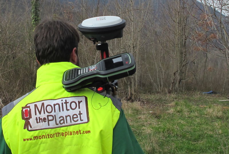
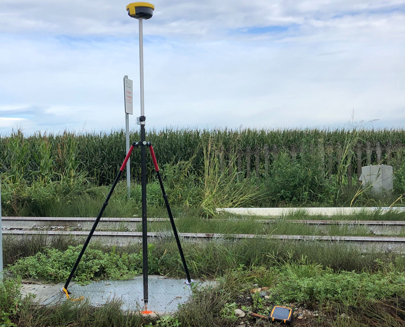
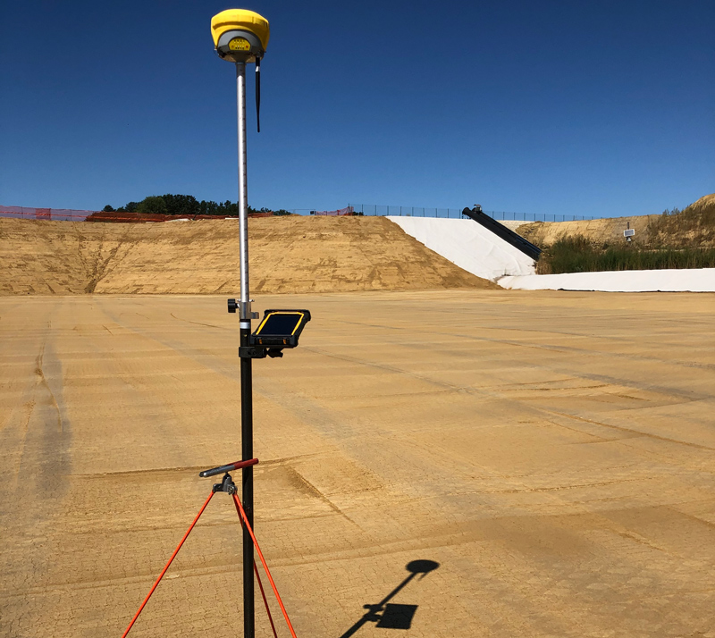
GPS RTK E BASE-ROVER
- GS18T Leica Geosystems
- GS16 Leica Geosystems
- GPS Zenit 40 Geomax
- GPS Zenit 35 pro Geomax n.2
CONTROLLER - TABLET
- CS20 Leica Geosystems n.2
- CS35 Leica Geosystems n.1
- XPAD Ultimate Survey n.3
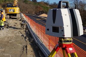
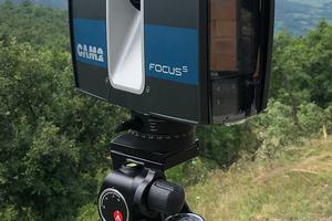
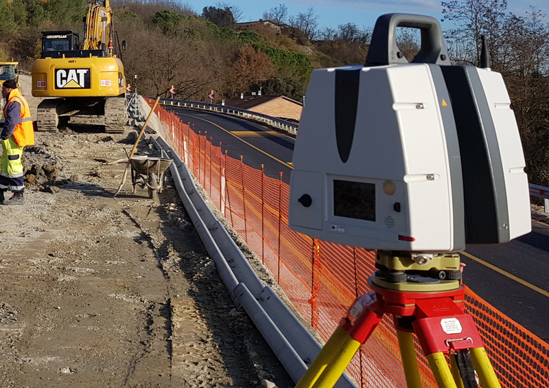
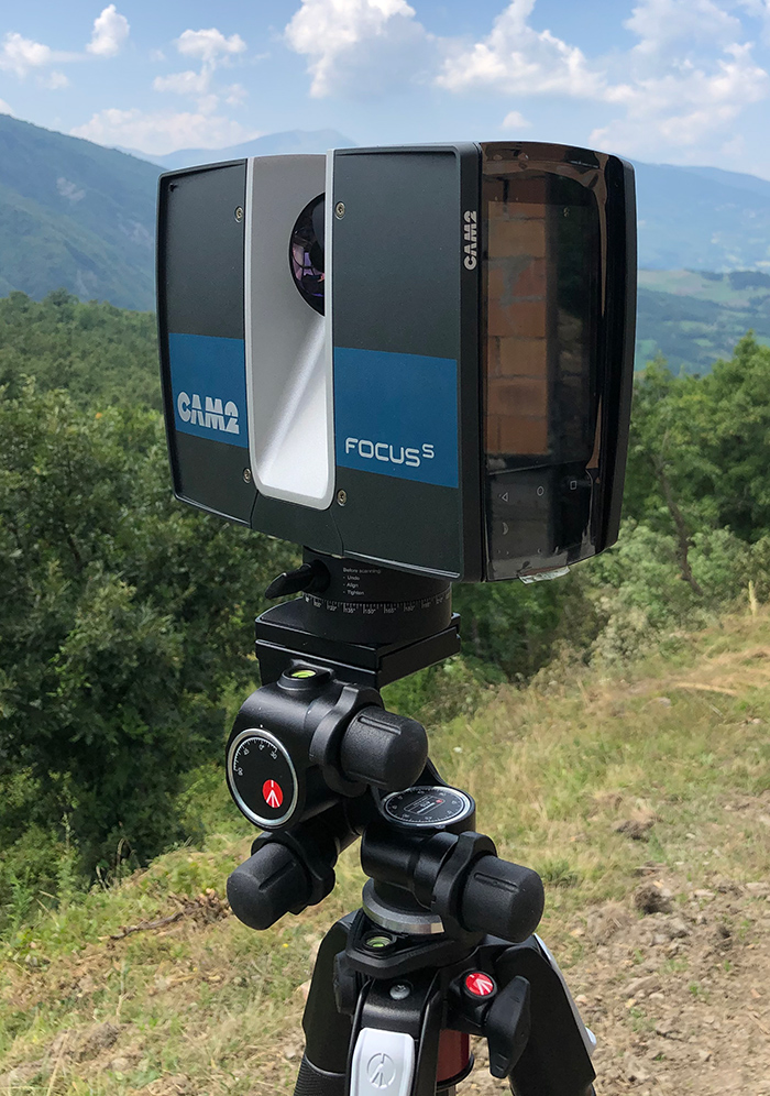
TERRESTRIAL LASER SCANNERS
- Riegl VZ400I
- P30 Leica Geosystems
- Faro S70
- RTC 360 Leica Geosystems
- Geo SLAM Zeb Horizon
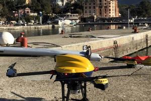
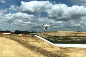
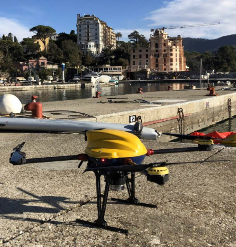
PHOTOGRAMMETRY DRONES - MULTISPECTRAL AND VISUAL INSPECTION
- Drone nr. 2 Phantom RTK
- Drone Vernture PRO S3 (Sony QX1 - Red Edge M+)
- Drone Mavic Mini 2
SOFTWARE OF PROPERTY
- Infinity Leica Geosystems n. 4
- Cyclone Leica Geosystems n. 2
- CloudWorks Leica Geosystems
- 3DReshaper Hexagon n. 2
- Scene
- Pix 4D n.2
- XPAD Office Fusion n.2
ACCESSORIES
