Strumentazione tecnologica e software per misure e calcoli in Geomatica
Misurazioni utili per ingegneria del Territorio e Ambiente
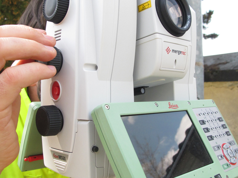
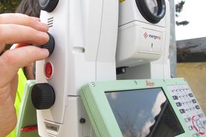
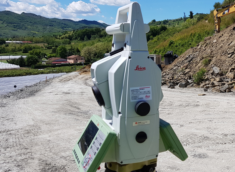
Stazione Totale Leica MS60
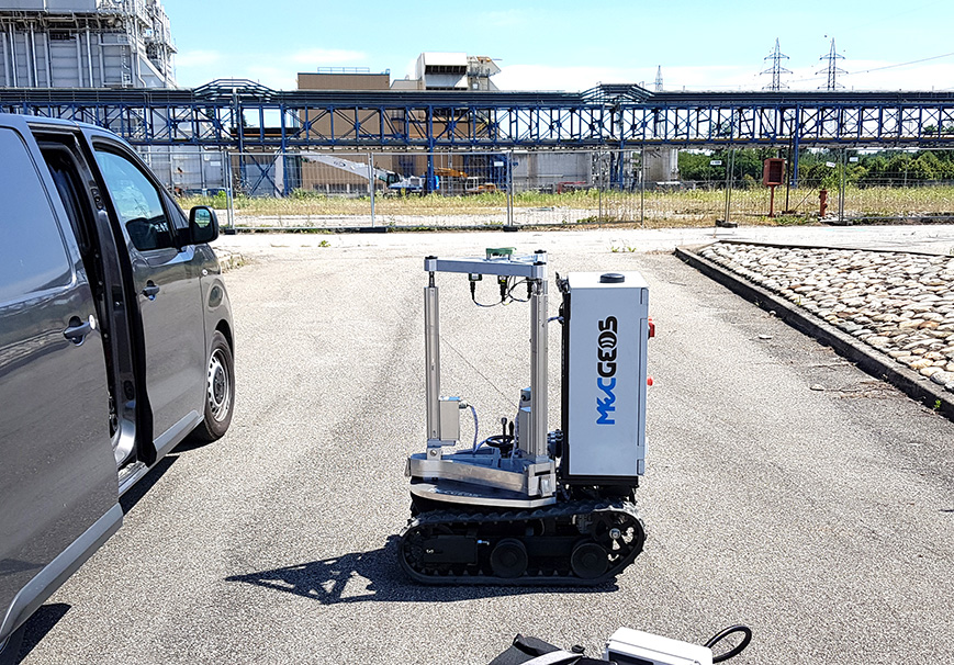
La nostra dotazione strumentale disponibile per l’impiego nei cantieri
PROTOTIPO (IP)
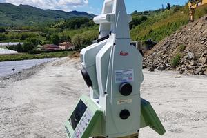
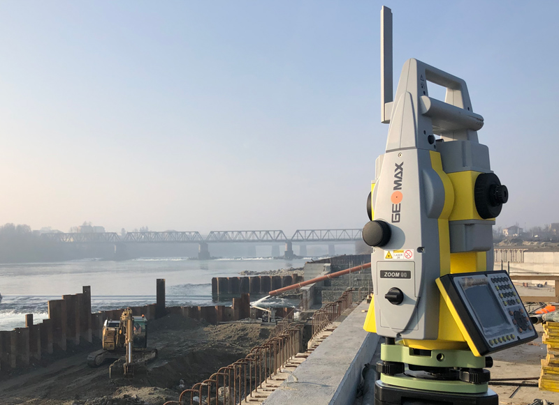
STAZIONI TOTALI E MULTISTATION A CONTROLLO REMOTO
- MS60 Multistation 1” Leica Geosystems anno 2020
- TS60 Motorizzata 0.5” Leica Geosystems
- TPS Zoom 90 1” Geomax
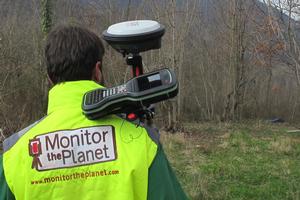
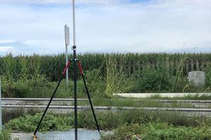
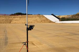
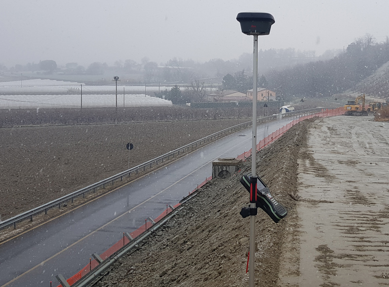
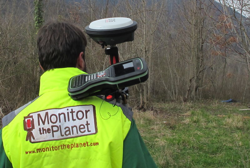
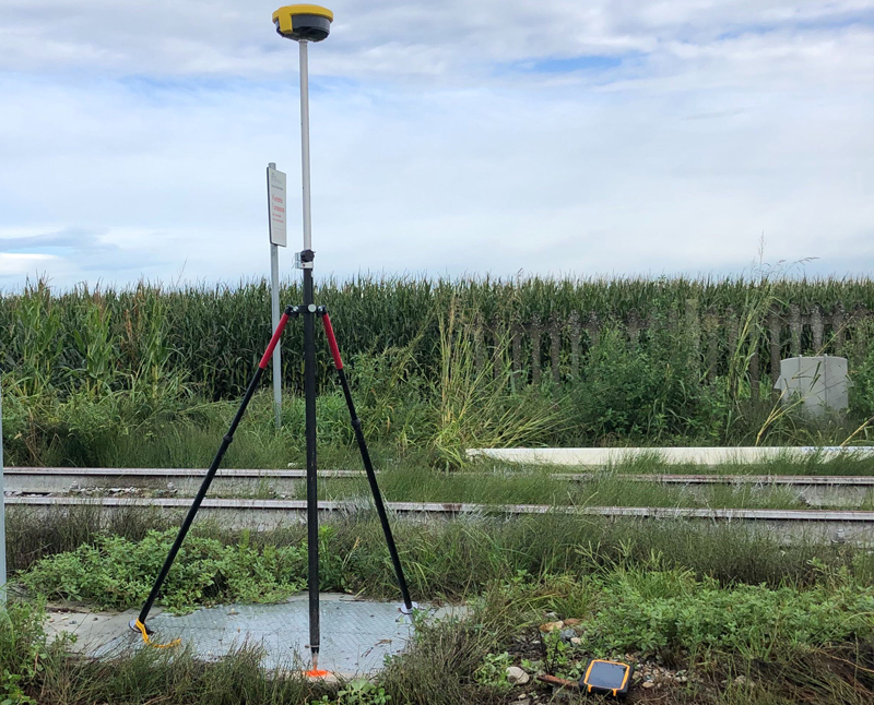
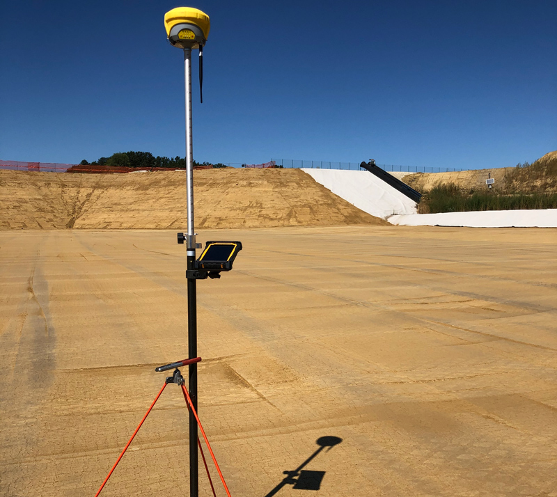
GPS RTK E BASE-ROVER
- GS18T Leica Geosystems
- GS16 Leica Geosystems
- GPS Zenit 40 Geomax
- GPS Zenit 35 pro Geomax n.2
CONTROLLER - TABLET
- CS20 Leica Geosystems n.2
- CS35 Leica Geosystems n.1
- XPAD Ultimate Survey n.3
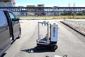
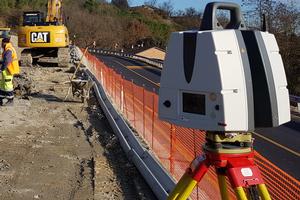
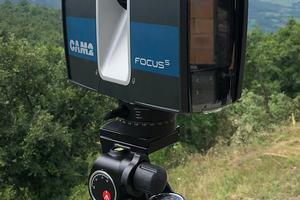
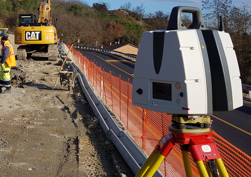
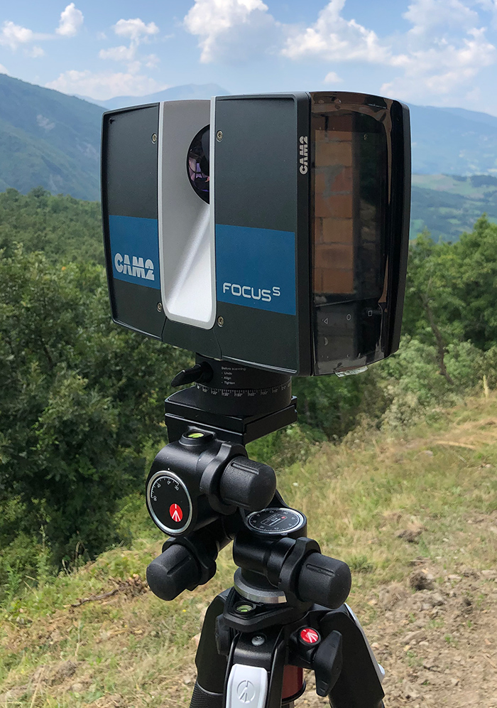
LASERSCANNER TERRESTRI
- Riegl VZ400I
- P30 Leica Geosystems
- Faro S70
- RTC 360 Leica Geosystems
- Geo SLAM Zeb Horizon
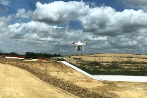
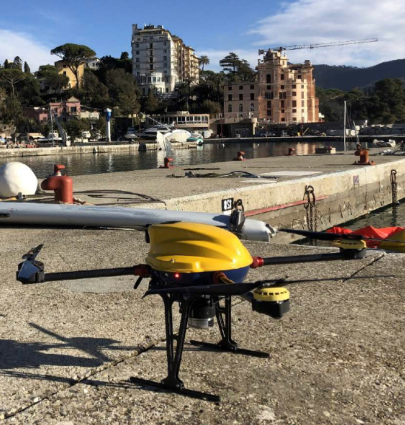
DRONI PER FOTOGRAMMETRIA - MULTISPETTRALE E ISPEZIONI VISIVE
- Drone nr. 2 Phantom RTK
- Drone Vernture PRO S3 (Sony QX1 - Red Edge M+)
- Drone Mavic Mini 2
SOFTWARE DI PROPRIETA'
- Infinity Leica Geosystems n. 4
- Cyclone Leica Geosystems n. 2
- CloudWorks Leica Geosystems
- 3DReshaper Hexagon n. 2
- Scene
- Pix 4D n.2
- XPAD Office Fusion n.2
ACCESSORI

