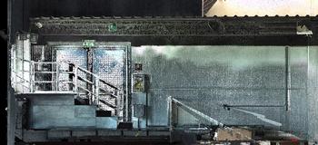
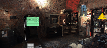
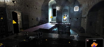
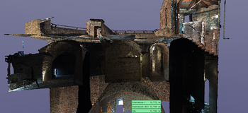
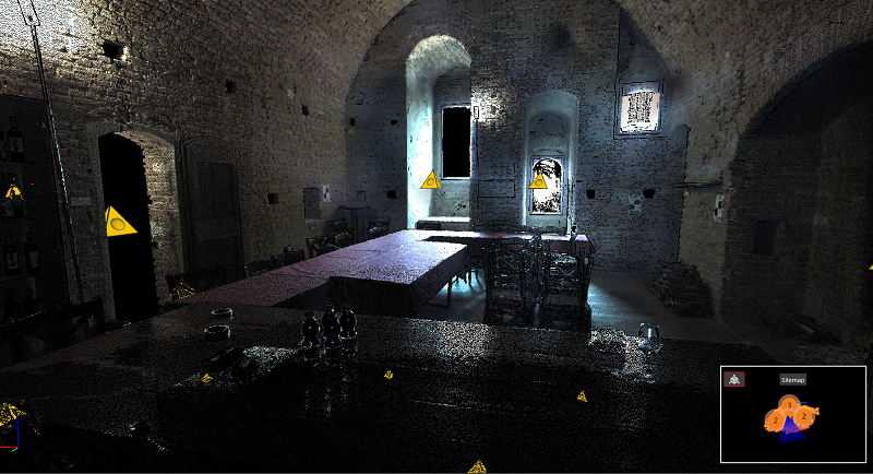
We use 3D laser scanner technology in many of our fields of application, this method of measurement allows us to acquire digitally and at low prices, position and shape of objects, describing them through a cloud of points, for each of which the spatial position is identified according to a coordinate system x, y and z, focused on the scanner position.
The choice of the operating method on site and the subsequent processing of the laser scanner survey make it possible to use the raw data in a multidisciplinary manner: in fact, depending on the result to be obtained, we process the data by crossing them, georeferencing them and verifying them for all fields of application of geomatics.
