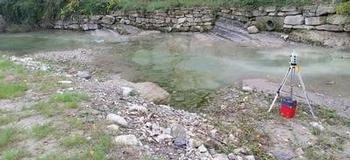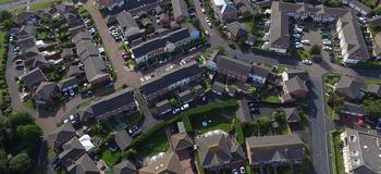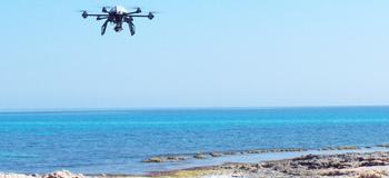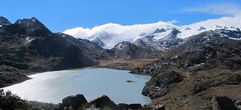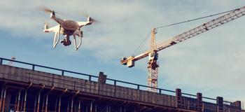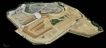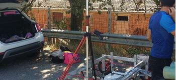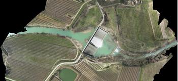
We provide remote sensing, photogrammetry, GPS and laser scanner services for the management of environmental disasters and natural risks, as well as the mapping of damage, prevention and, following catastrophic events by means of drones for the remote execution of aerial photogrammetric films.
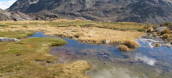
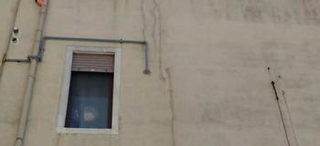
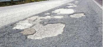
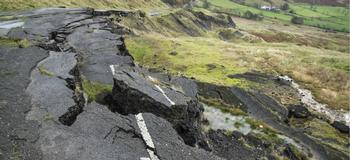
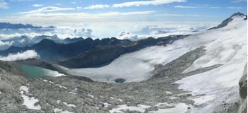
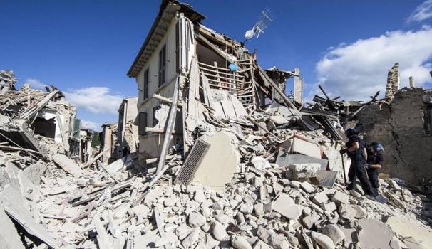
Each natural event deriving from exogenic (rain, snow, temperature changes, wind, floods, alluvium, landslides) or endogenic actions (earthquake, volcanic eruption) that induces extraordinary effects, in terms of both extension and magnitude of the damage and can therefore be classified as calamitous, determines an emergency situation that must be dealt with timeliness, immediately actuating a series of actions that will restore safety and safeguard the cultural patrimony involved.