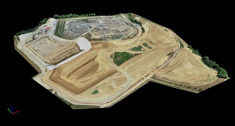
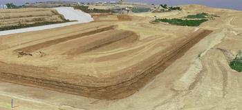
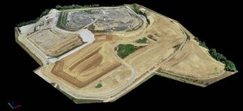
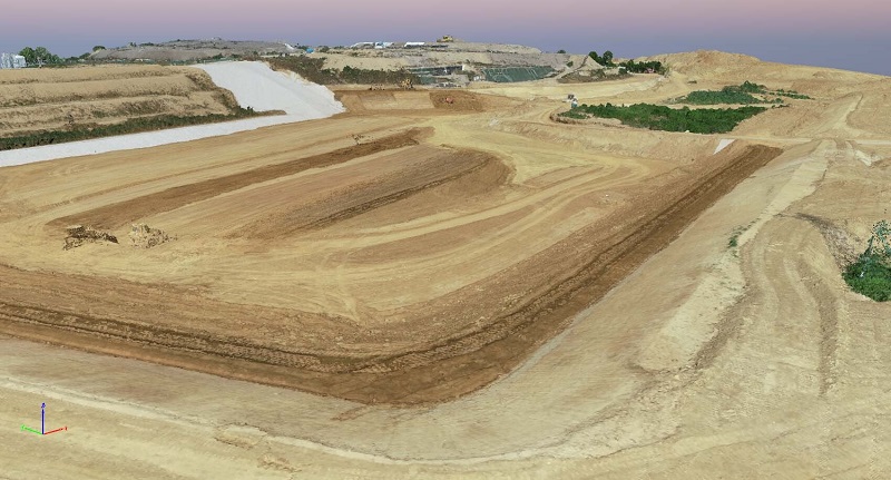
modello di rilievo a nuvola di punti
We carry out monitoring and surveys aimed at periodic and / or continuous control of landfills for data acquisition.
This process makes it possible to monitor and detect the environmental and volumetric settlement of the landfill tank with the aim of being able to compare historical data with the most recent ones allowing to define the type of intervention, if necessary.
In addition, we also perform Project Review Meeting document verification services of the altimetric coverage that covers the landfill since it must respect the values imposed by the Region.
The service is carried out through the use of a high resolution aerophotogrammetric system integrated with highly technological instrumentation such as GNSS, Total Station or Laser scanner.