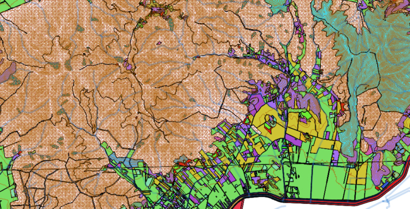
Through a series of software tools, we acquire, record, analyze and return information deriving from stored geographic data.
We develop products and develop IT tools to support the development of cartographic and geographical analysis (GIS analysis). With GIS (cartographic information systems) it is possible to acquire and process data of various kinds that are geo-referenced: the acquired data must be linked to geographical coordinates validated in a known reference system.
GIS systems, when used online, are called Web-GIS.
We support our customers at all times of their activity, from the acquisition to the dissemination of data, designing customized solutions and elaborating the different specific requirements requested by the client.
Through a series of software tools, we acquire, record, analyze and return information deriving from stored geographic data.We develop products and develop IT tools to support the development of cartographic and geographical analysis (GIS analysis). With
GIS (cartographic information systems) it is possible to acquire and process data of various kinds that are
geo-referenced: the acquired data must be linked to geographical coordinates validated in a known reference system. GIS systems, when used online, are called
Web-GIS.
We support our customers at all times of their activity, from the acquisition to the dissemination of data, designing customized solutions and elaborating the different specific requirements requested by the client.