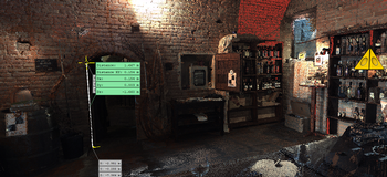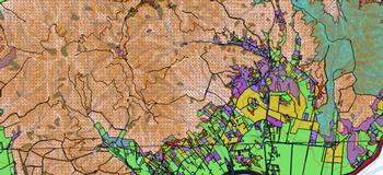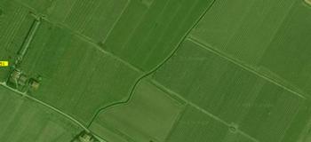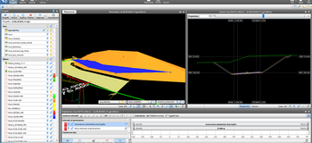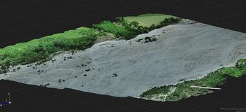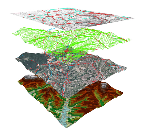
We use advanced software for the production and updating of thematic cartography, geographic databases, analyses, and environmental simulations.
Geographic IT systems were born of the need to collect, process, manage, and make available to decision-makers an impressive amount of data and information pertinent to the territory. When a geographic information system is shared online, it becomes WebGIS, with many advantages, like: accessibility to information on a planetary level, the access of data to everyone, even to a non-technical public, and transparency of the information available.
The use of the Web as a means of diffusing maps is considered one of the greatest evolutions in cartography, especially in terms of creating new opportunities like: real-time maps, ample and affordable publication, updating of data, personalised contents, sources of the data distributed, sharing.
WebGIS also presents new challenges to be faced: technical restrictions (band, mobile device displays), copyrights and security, technological complexities, interactivity, and accessibility.
Using WebGIS we continually seek the best methods for publishing data on the internet, which the client asks us to find and process. We then work to share, manage, and process data in such a way as to provide a service of interoperability and diffusion of information requested of us by various users.