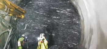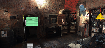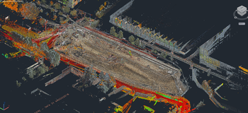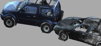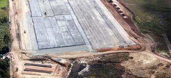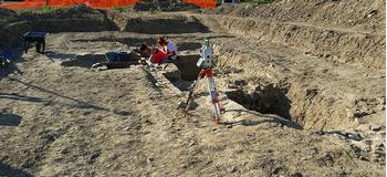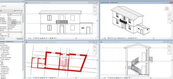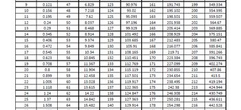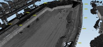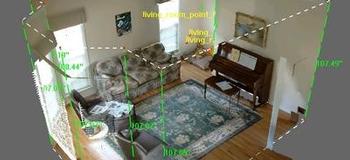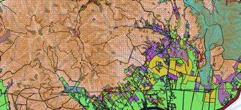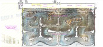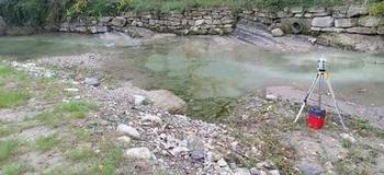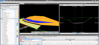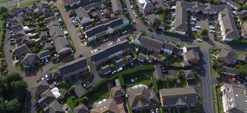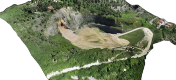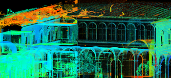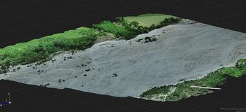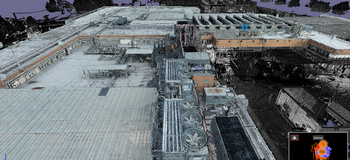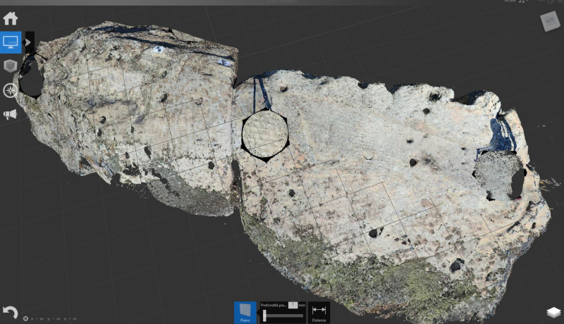
We process photogrammetric data and point clouds of considerable complexity and manage this data to provide meshes, images, orthophotos, and virtual tours that correspond to reality and, depending on the client’s needs, we extract from the same data the metric information necessary for the development of detailed technical drawings.