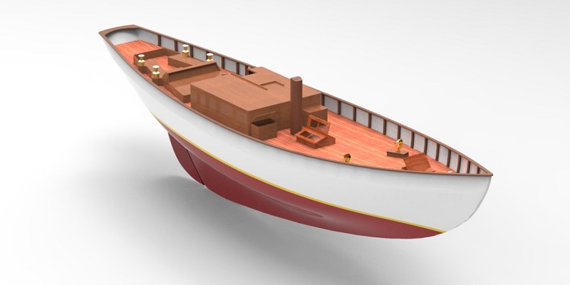
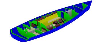
We reproduce parametric surfaces and accurate 3D mesh models of entire hulls, both as as-built documentation of the structure of the boats, both as reverse engineering and as new realizations; we operate for repairs and modernizations, we obtain 3D measurements of the single pieces that make up the hull for quality checks according to the design and modification of the individual components.