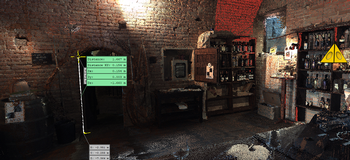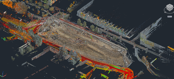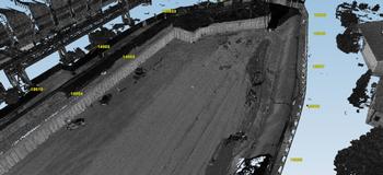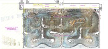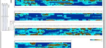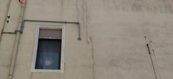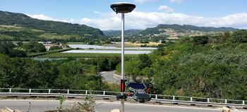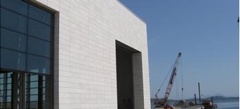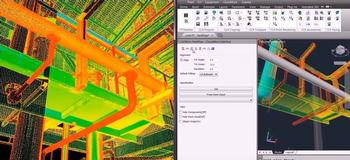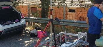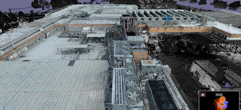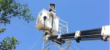
We are working as process innovators in the field of surveying and monitoring. More specifically, the meticulous activity in typical traditional survey situation is replaced by a very quick and much more detailed automated survey of a mass of geometric and material data. The survey and extraction procedures make it possible to avoid having to return on site to integrate the survey with new measurements by providing detailed information on position, shifts/movements of the buildings and deterioration. Reverse Engineering operations are facilitated and managed easily with high-end topographic systems and 3D data integration. The underground and in the non-visible setting surveys are integrated with the visible, with references and the use of data that can be easily understood.
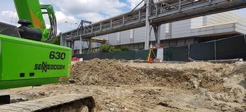
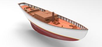
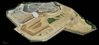
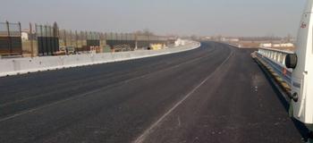
We survey and verify entire structures and systems in 3D, provide detailed calculations on volumes and position, reposition, and provide detailed drawings of machines, equipment, and construction site and industrial installations.