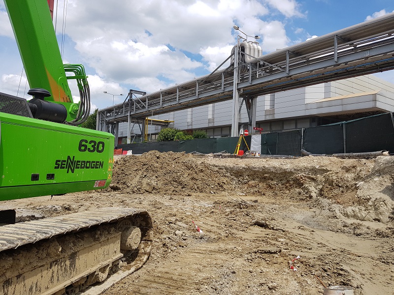
We perform tracking both by determining new reference systems and by using existing reference systems.
We work with great delicacy and precision and with the latest generation technologies for the exact delimitation on the ground of what is designed on a map.
The use of new technologies guarantees speed and transparency of the operations carried out in the country, giving feedback on the work with hours and tariff reports.
We manage the entire construction site stake out from the first topographic survey so as to give positive effects in economic and qualitative terms.