Special: MyGeo Solution
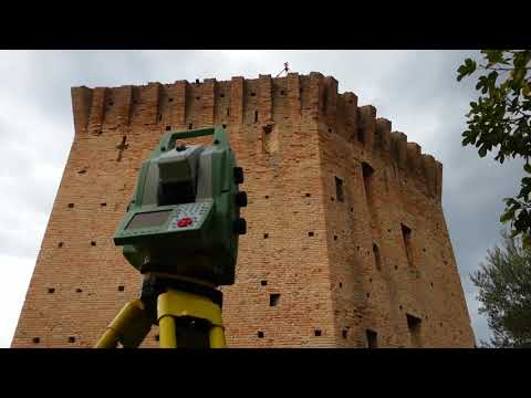
We create virtual tours as three-dimensional models that can be navigated through real surveys derived from 3D point clouds and projects provided by the client. Moreover, from the set of several 360 ° photographs that are logically and visually connected together, it is possible to realize, through the elaboration process, a three-dimensional visualization from several points of view.