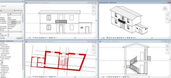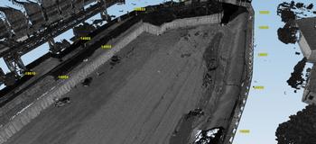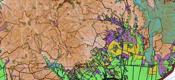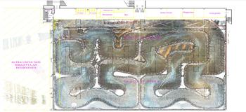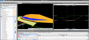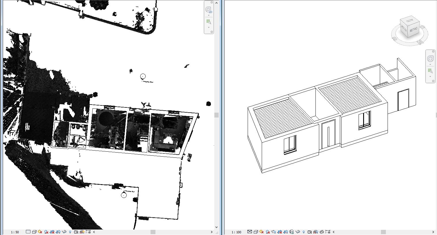
We use the Building Information Modelling as a method to optimise planning, creation, and construction management, as well as a means for maintaining interoperability among professional figures.
We keep ourselves informed and updated to manage BIM technologies, we work to create, maintain, and understand the level of BIM maturity, which is based on collaboration and the exchange of data.