We carry out construction site surveys through accurate topographic surveys in order to be able to return topographic traces at best through on-site materialization of references requested by the client or by the designers of infrastructural or civil works, defined as "geomatic positioning techniques".
We manage complex topographical sites in mountain areas (Montagna and Appennino) and maritime and coastal areas; the interoperability of our technologies allows us to identify every type of solution and manage any type of eventuality in terms of measurements.
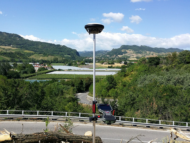
We carry out construction site surveys through accurate topographic surveys in order to be able to return topographic traces at best through on-site materialization of references requested by the client or by the designers of infrastructural or civil works, defined as "
geomatic positioning techniques".We manage complex topographical sites in mountain areas (Montagna and Appennino) and maritime and coastal areas; the interoperability of our technologies allows us to identify every type of solution and manage any type of eventuality in terms of measurements.