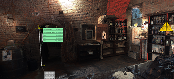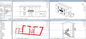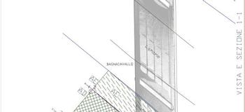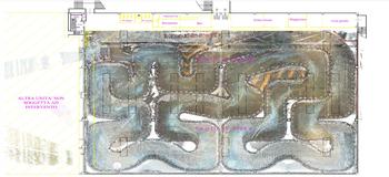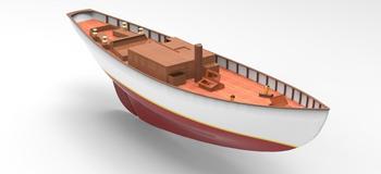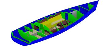
For the planning and maintenance of vessels, we use 3D technologies suitable for returning certain and precise data that can then be used with design and planning software. Complex surfaces, with the use of laser scanner technology, are documented and correspond faithfully to reality.
Refittings are economic and precise from the planning phase to the executive phase.