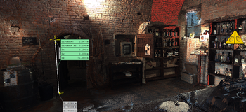
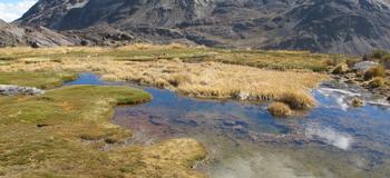
New measurement technologies make it possible to survey and reconstruct with precision the shapes of works constructed or being constructed, the quick and precise survey of riverbanks or lakes or coastal profiles, above all in those areas that are difficult to access from land or, in any case, not suitable for a terrestrial or drone survey.
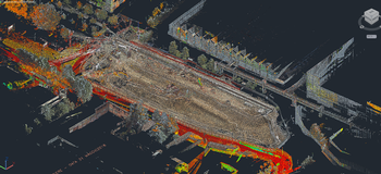
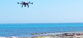
The potential integration of a multibeam sensor inside the INS/GNSS system makes it possible to acquire - simultaneously and in a single system of reference - the geometries present above and below the water level, the sonar applications of the morphology of the coasts: the survey of the coastal regions, the monitoring of erosion and sedimentation phenomena, feasibility studies and the planning of coastal conservation, as well as relief mapping and the control of riverbanks and lake shores.
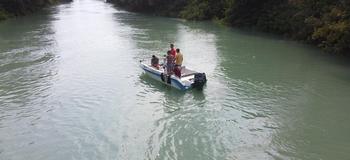
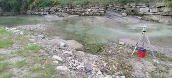
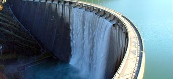
Concerning rocky coasts and promontories, the optimal angle for filming from the water surface level can be used to survey the geometries of rocky coasts, promontories, riverbanks characterised by a sharp verticality. With a combination of technologies it is possible to monitor and survey resources belonging to state ports and maritime facilities using geometric and photographic surveys of the surfaces of the structures and the annexes that generate the creation of a 3D archive and for the planning and insertion of new structures (dams, offshore quays, wharfs, piers).