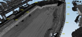
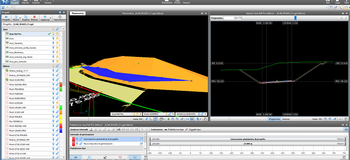
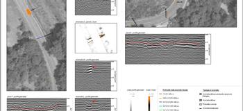
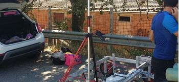
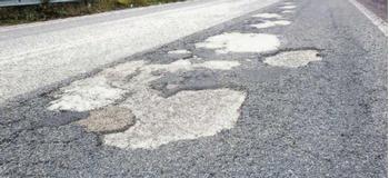
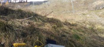
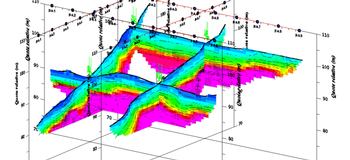
We organise monitoring phases to analyse the conditions of airport superstructures, beginning with a survey of the planimetric and altimetric alignment and the regularity of longitudinal and transversal profiles detected using a laser scanner, including the survey of pavement surface conditions and deterioration, to the georadar survey for determining the stratigraphy.
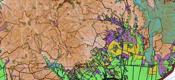
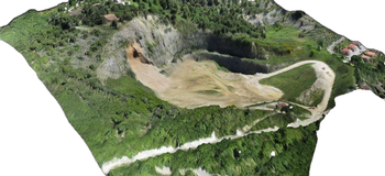
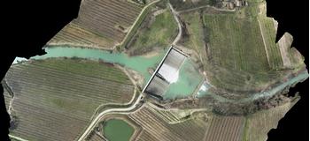
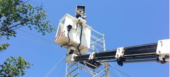
By mapping the areas and the obstacles, we offer consultancy and develop solutions for the detection of geodata and modelling of the surface in high resolution; moreover, we provide support for verifying the safety of the arrival operations of the aircraft and the conformity of the take-off and landing procedures with current laws in force.