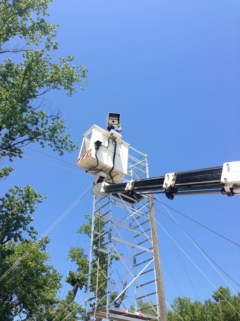
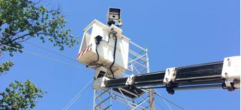
The Timelapse tool was designed to meet stringent requirements such as: compatibility with photographic tools capable of offering high quality shooting (Reflex Canon), operation through independent and renewable energy sources (photovoltaic), connectivity to the independent internet network (network 3G), full operation in any environmental condition.
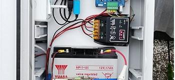
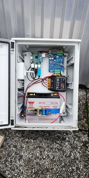
Technologically the timelapse is composed of two main parts: a commercial mini computer (raspberry pi) and an ad hoc control electronics. The control electronics takes care of regulating the operating voltage for each of the components it controls, of starting the components when the programmed tripping moment is reached (in fact these are normally kept switched off to save energy), to monitor the operation of the instrument by sending raspberry pi computer data.
The later once started by the control electronics
- performs the trip,
- saves the image in a local memory,
- acquires the operating data of the system
- sends everything to a remote server (including a version reduced at will to the same image).
The
instrument is suitable for shooting on construction sites, agricultural plants,
technological sites, art installations.