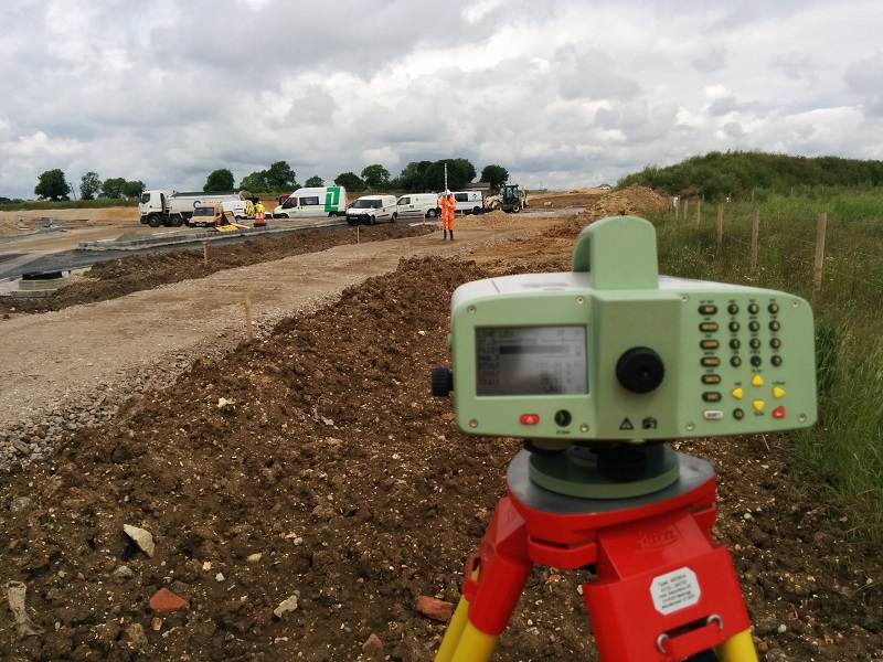
We carry out geometric and trigonometric precision leveling in order to determine the differences in level between different points of the terrain, through topographic operational procedures.
We carry out leveling procedures for construction sites, monitoring following and for the prevention of structural failures, periodic monitoring of subsidence to support interferometric analyzes.
We carry out geometric and trigonometric precision leveling in order to determine
the differences in level between different points of the terrain, through topographic operational procedures.
We carry out leveling procedures for construction sites, monitoring following and for the
prevention of structural failures,
periodic monitoring of subsidence to support interferometric analyzes.