Special: MyGeo Solution
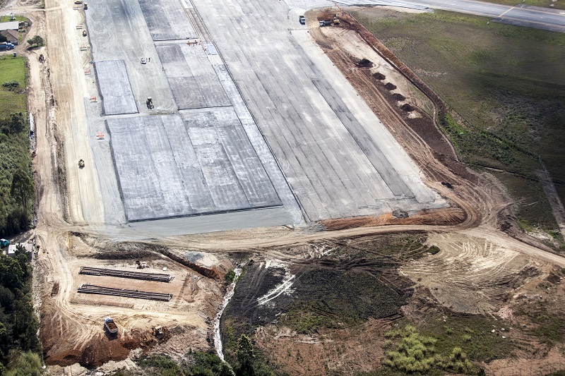
By mapping areas and obstacles, we offer consultancy and develop solutions for topographic survey and geodata management, high resolution surface scans and modeling with laser scanners, in order to verify the safety of aircraft approach operations and compliance take-off and landing procedures in force.