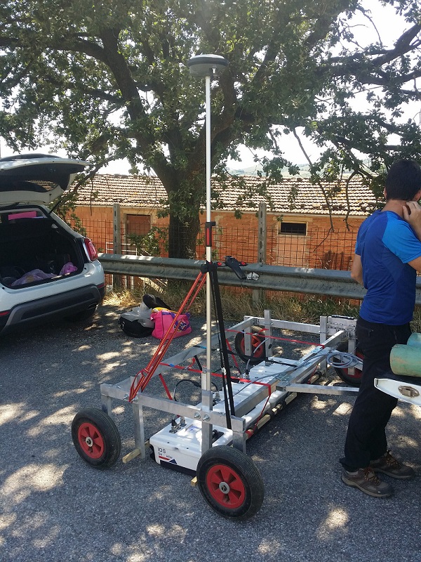
We use the tools with various wave differences and interpret the raw data detected both for horizontal surveys (subsoil, floors), and for vertical surveys (masonry structures), which allow us to identify buried structures (eg archaeological). , the subservices (pipelines, cables, network systems in general) and the anomalies of the building (walled doors, restoration interventions).
The periodic control methodology also allows defining the general state of concrete, masonry and stone structures with precise time data.
We use the tools with various wave differences and interpret the raw data detected both for horizontal surveys (subsoil, floors), and for vertical surveys (masonry structures), which allow us to identify
buried structures (eg archaeological). , the subservices (pipelines, cables, network systems in general) and the
anomalies of the building (walled doors, restoration interventions).
The periodic control methodology also allows defining
the general state of concrete, masonry and stone structures with precise time data.