We work to provide solutions in the design fields and in the technical-functional verification of road intersections.
This methodology allows to provide design solutions for road intersections that aim at optimizing functionality in terms of traffic flow, safety and reduced environmental impact.
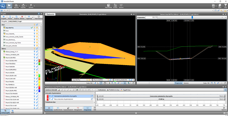
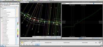
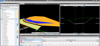
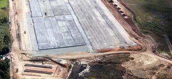
The design support activity requires more and more checks, assessment skills and interference analysis, increasingly accurate topographic surveys for precise and punctual detail checks. From the field analysis and use of increasingly up-to-date and controlled information and processing technologies, a careful planning of all the components of indispensable consideration ensues.
During the design process, Monitor the Planet provides continuous support to the customer for:
- examination of the basic cartography;
- examination and surveys for assessments of the 3D development of the territory;
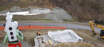
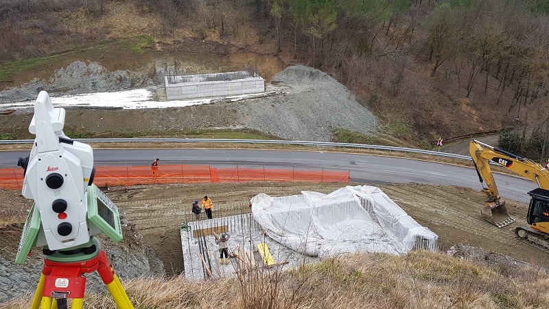
- accurate visits and surveys of places with identification of constraints and control of differences;
- studies and evaluations through intersections between project and surveys;
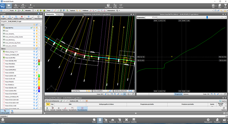
- data processing and design solutions deriving from simulations performed with software on detailed three-dimensional models.