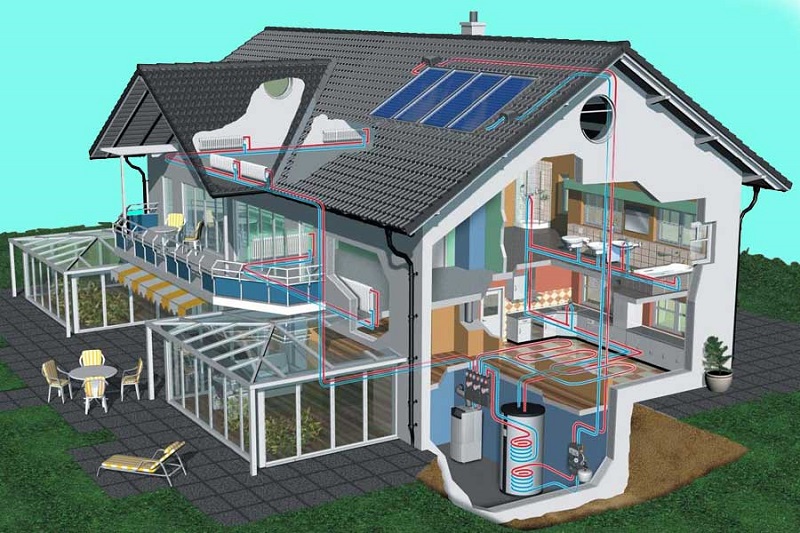
We provide reliable and measurable maps, in the visible and non-visible areas, detected with advanced and three-dimensional technologies, so as to give feedback to the architectural and structural DLs on the positioning of the systems present in large works, civil and corporate building infrastructures.
We create navigable virtual tours to inspect the surveyed plants and give the vision of the "plant reality" in the environments in which the plants (at works completed) will not be seen or cannot be measured.