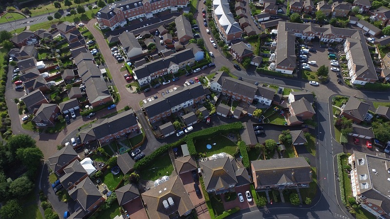
Through 3D laser scanner technology, mobile mapping and photogrammetry, supported by precision topography, we are able to detect with high precision any required element (sidewalks, curbs, trees, street furniture, lighting, vertical signs, etc.). We can give feedback on the subservices present, with the use of the georadar.
By combining the data collected in a single reference system we are able to provide complete three-dimensional maps and measurable precise positioning of the works present in urban areas, tarrens, infrastructures, quarries and the territory in general.
FREE ESTIMATES
Through 3D laser scanner technology, mobile mapping and
photogrammetry, supported by precision topography, we are able to
detect with high precision any required element (sidewalks, curbs, trees, street furniture, lighting, vertical signs, etc.). We can give feedback on the subservices present, with the use of the
georadar.
By combining the data collected in a single reference system we are able to provide complete
three-dimensional maps and measurable precise positioning of the works present in urban areas, tarrens, infrastructures, quarries and the territory in general.
FREE ESTIMATES