Special: MyGeo Solution
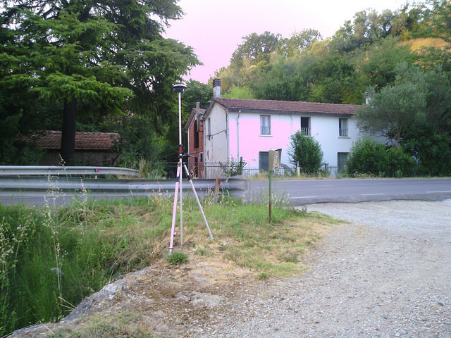
In order to make the graphic representations and the various classifications of all real estate properties exact, we provide maps or types of fractions referring to the land register, with the aid of topography and PC programs, or processing with variations in the consistency of the land. real estate units at the building register.