Special: MyGeo Solution
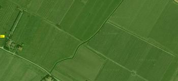
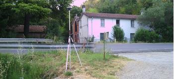
We provide the tracking service for delimiting boundaries on the map and new boundaries to be included in the cadastral map. We use various technologies and skills to carry out orders of any size and size, roads, large properties for private clients, public administrations, dioceses, local administrative bodies and regulatory agencies and consortia.
More info and Request estimate
MyGeo Solution Offer is possible for this service.