07 September 2023
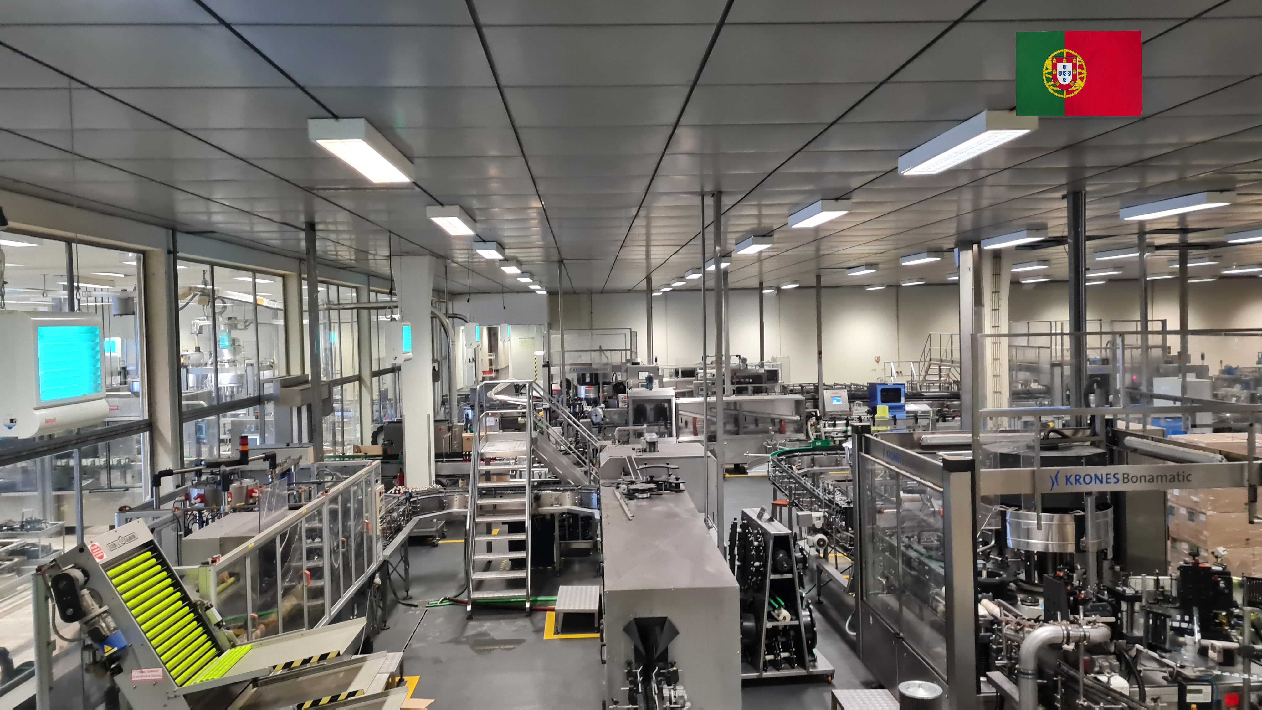
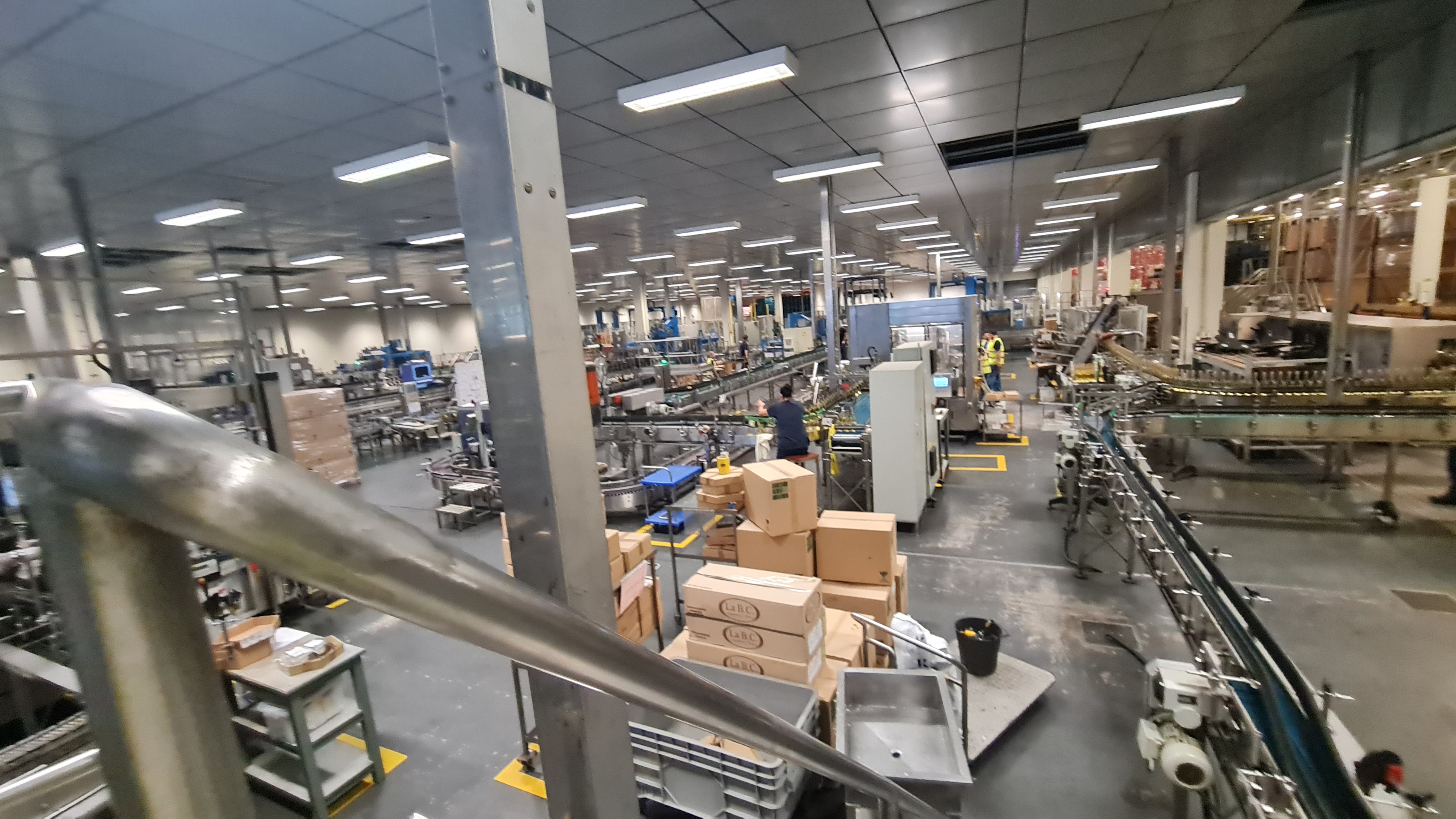
Complete acquisition of all the
spatial information of the wine cellar and its components.
Find information about t
he geometry of the object or area of interest, including its contours, surfaces, structures, and details.
They were subsequently elaborated for the creation of an accurate and realistic three-dimensional representation of the surveyed environment and the graphic rendering in
perspective plans and two-dimensional sections.
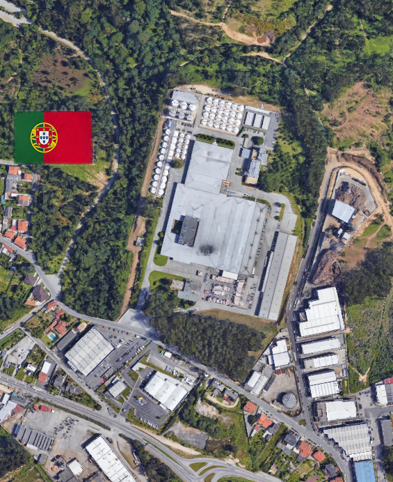
- Project: 3D survey of a wine cellar
For the execution of the work was used the following instrumentation:
- Laser Scanner Riegl VZ-600I
For the elaboration of the work the programs were used:
- RiPANO Software for Terrestrial Scan Data Visualization