04 April 2022
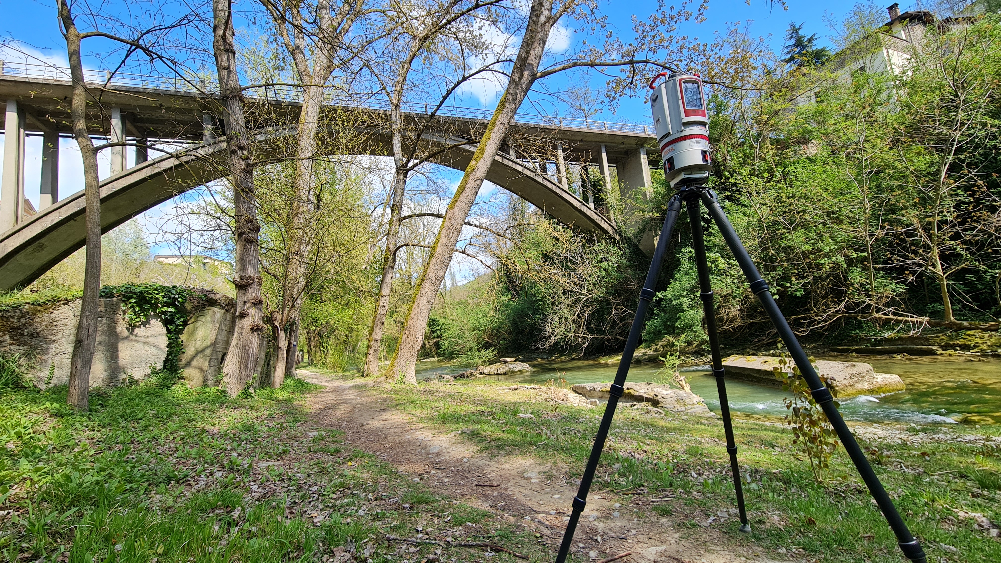
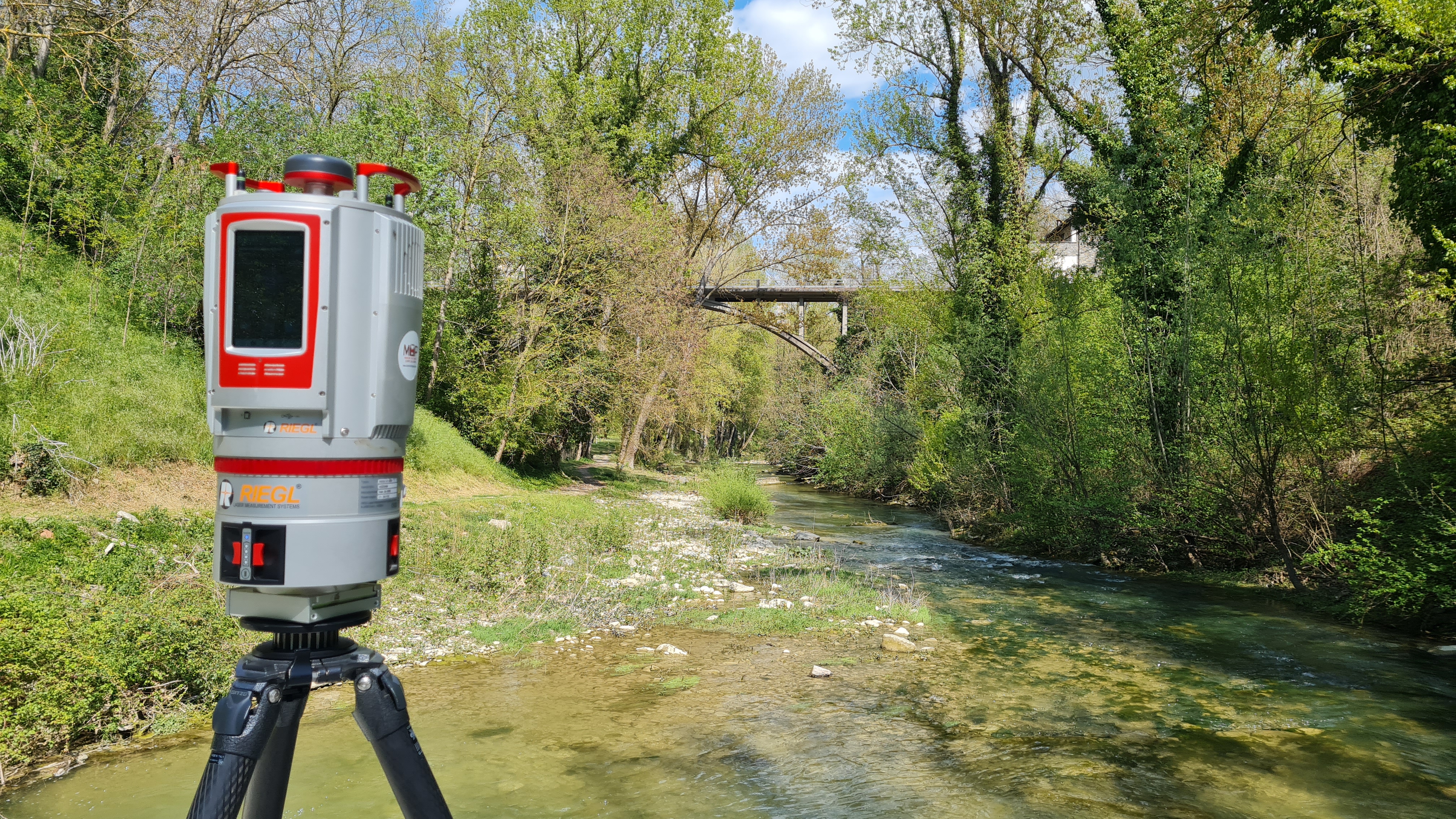
Surveys of the lower and upper structural components of the work were carried out using a Laser Scanner instrument.
The purpose of the assignment was to
verify the feasibility of the realization of interventions of safety of the viaduct through the verification of the
state of consevazione of the same.
- Project: infrastructure survey
- Client: Unione della Romagna Faentina
- Place: Faenza (RA)
For the execution of the work was used the following instrumentation:
For the elaboration of the work the programs were used:
- Cyclone Leica Geosystems
- 3DReshaper Hexagon
- Riscan Pro