14 January 2019
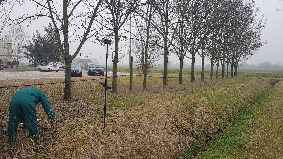
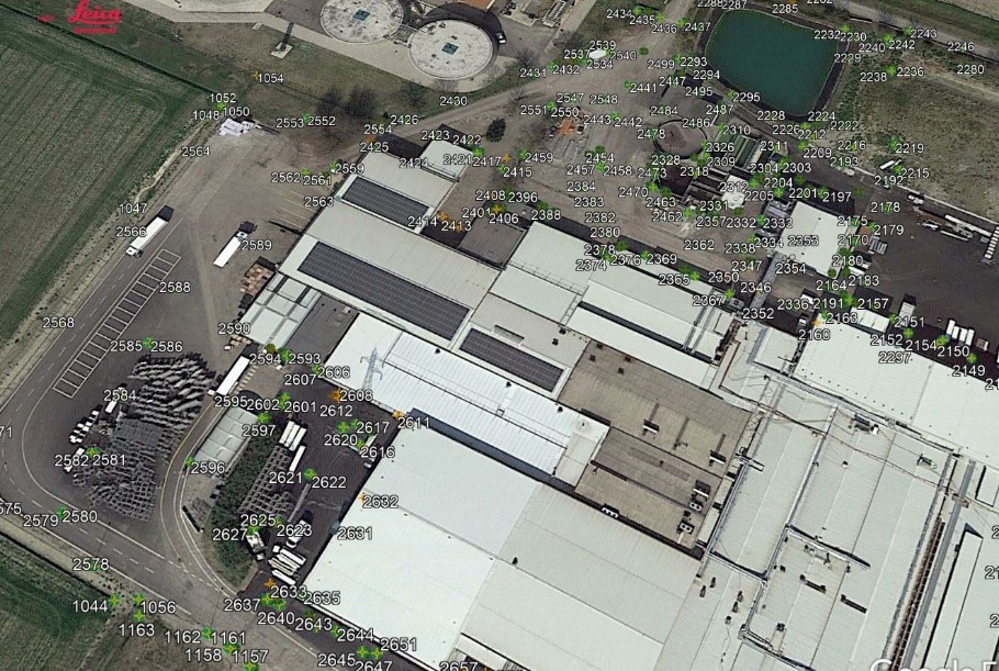
Geoaccurate data of the wells in areas adjacent to a building have been acquired
through GNSS instrumentation. The purpose of the assignment was
to locate and design in 2D domestic wastewater, industrial wastewater and various sewerage piping connections.
- Project: Survey of wells
- Client: Direct company
- Place: Imola (BO)
For the execution of the work was used the following instrumentation:
For the elaboration of the work the programs were used:
- SierraSoft Roads
- SierraSoft Land
- Infinity Leica Geosystems