09 July 2021
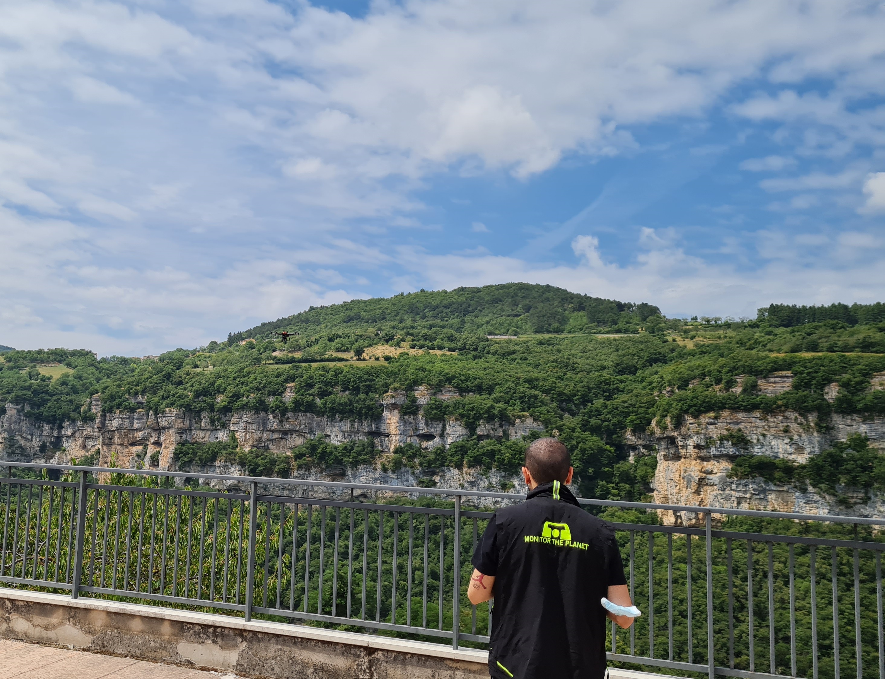
3D Laser Scanner survey was carried out on APR with topographical support equipment of about 16ha of land aimed at the design and construction of a Tibetan bridge by a foreign company.
The purpose of the assignment was to carry out a
flight with LIDAR technology with accuracy of 1x1m and 5x5m in global georeferenced coordinates and
drafting of technical report including orthophotos.
- Project: Mapping via LIDAR
- Client: Collaboration
- Place: Corso (VR)
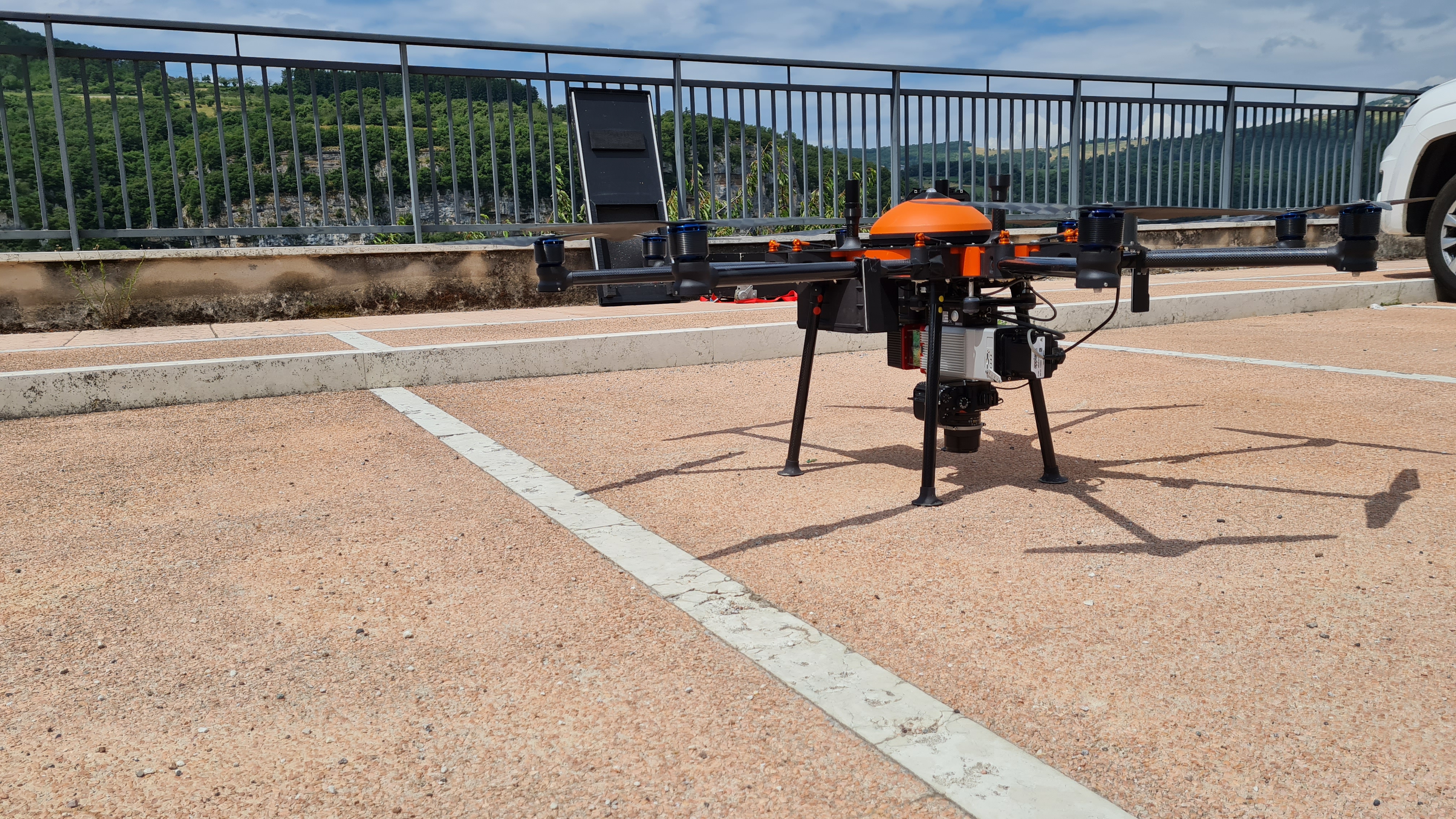
The following equipment was used for the execution of the work:
- Octocopter with Riegl miniVUX-2
- GPS Zenith 40 Geomax
The following software was used to process the work:
- Infinity Leica Geosystems
- 3DReshaper Hexagon
- Fusion Geomax
Cloud Viewer link: tips for better viewing.
Click on button with the three setting lines:
- click on "Aspetto" and increase the points at full scale to the maximum
- look at "Progetto" and click on the "project name" and increase the point size scale
- look at "Progetto" and click on the "project name" and look at "Colore" you can see RGB selected by default. For non-color projects change "RGB" to "Gradiente di intensità"