03 June 2022
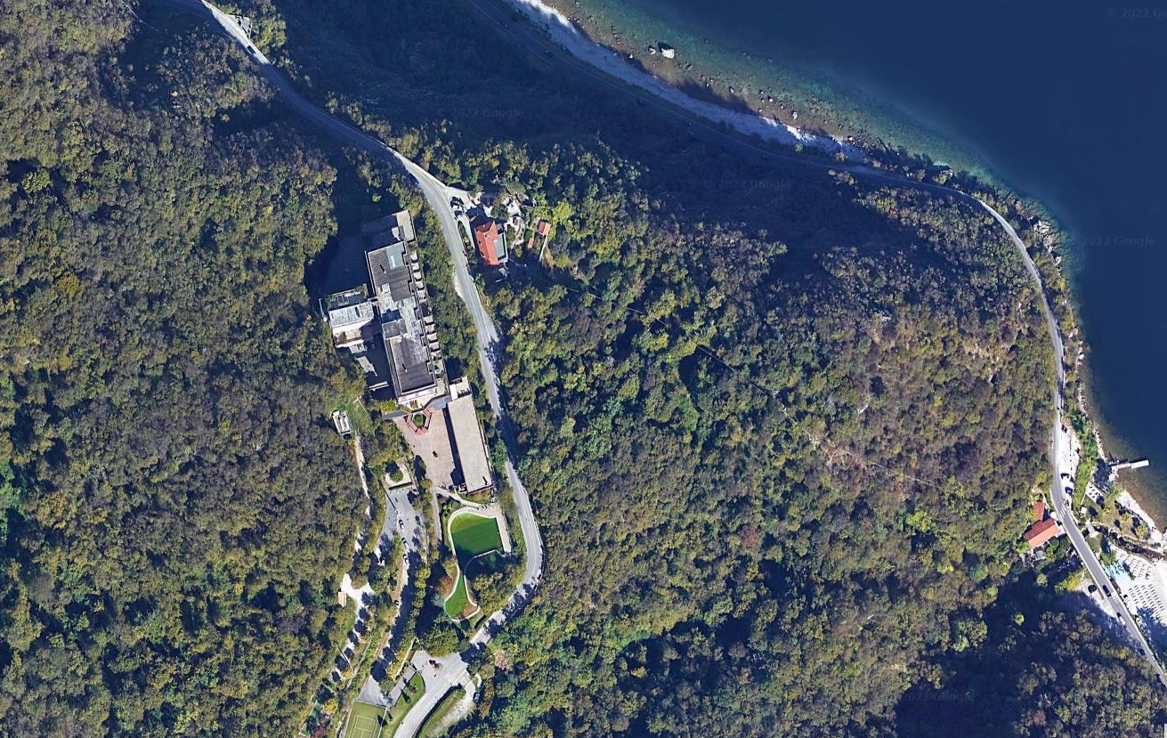
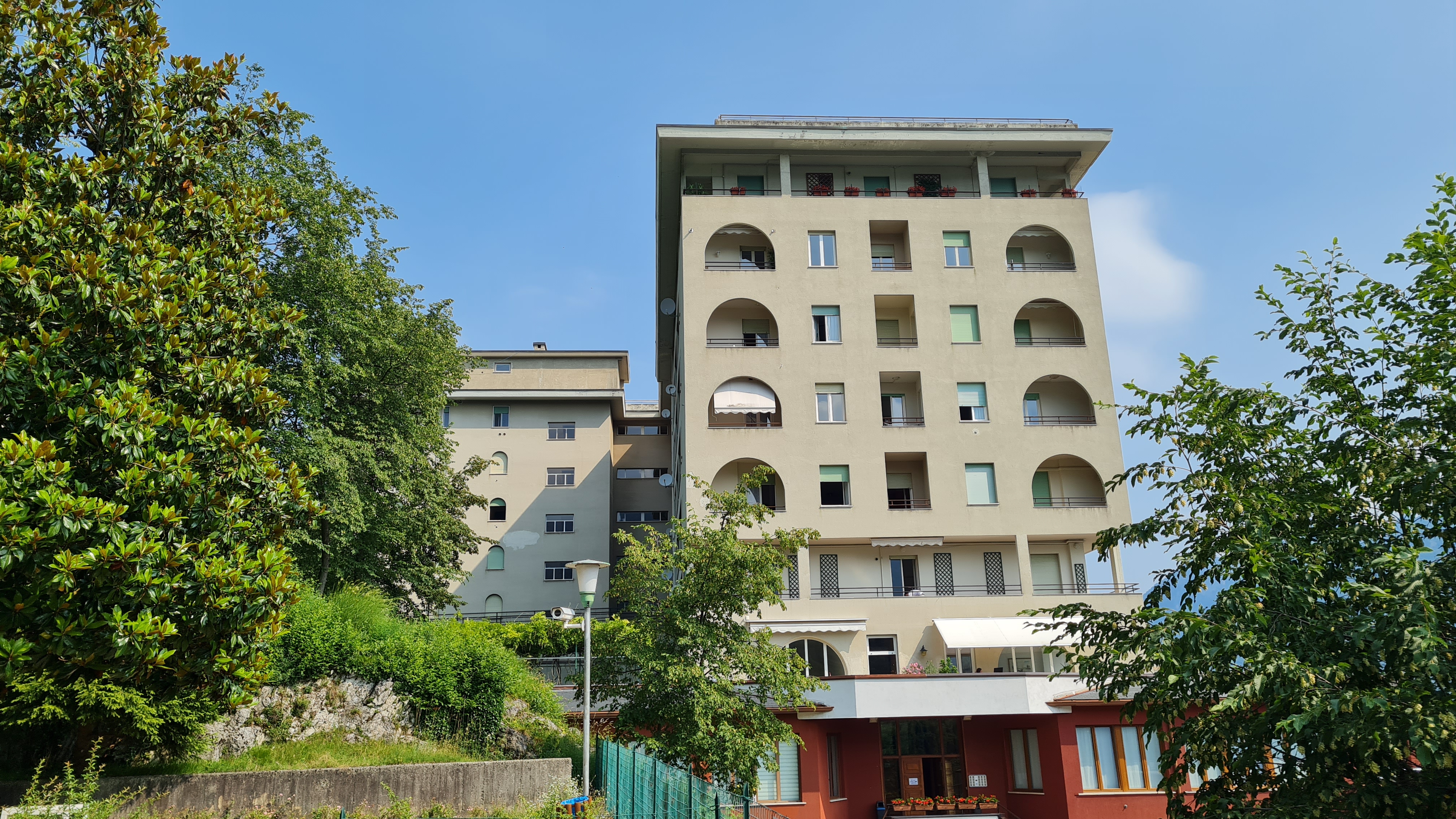
Surveys of the external elevations were carried out, including the back loggias,
all floors excluding the apartments and the common parts of the internal stairwells and corridors of the building through
three-dimensional scanning equipment, SLAM technology and support equipment.
The purpose of the assignment was to provide
graphic drawings of plans, elevations and sections in
2D and 3D modelling (Scan to BIM) of the building object of intervention.
- Project: Survey of building
- Client: Direct company
- Place: Valbrona (CO)
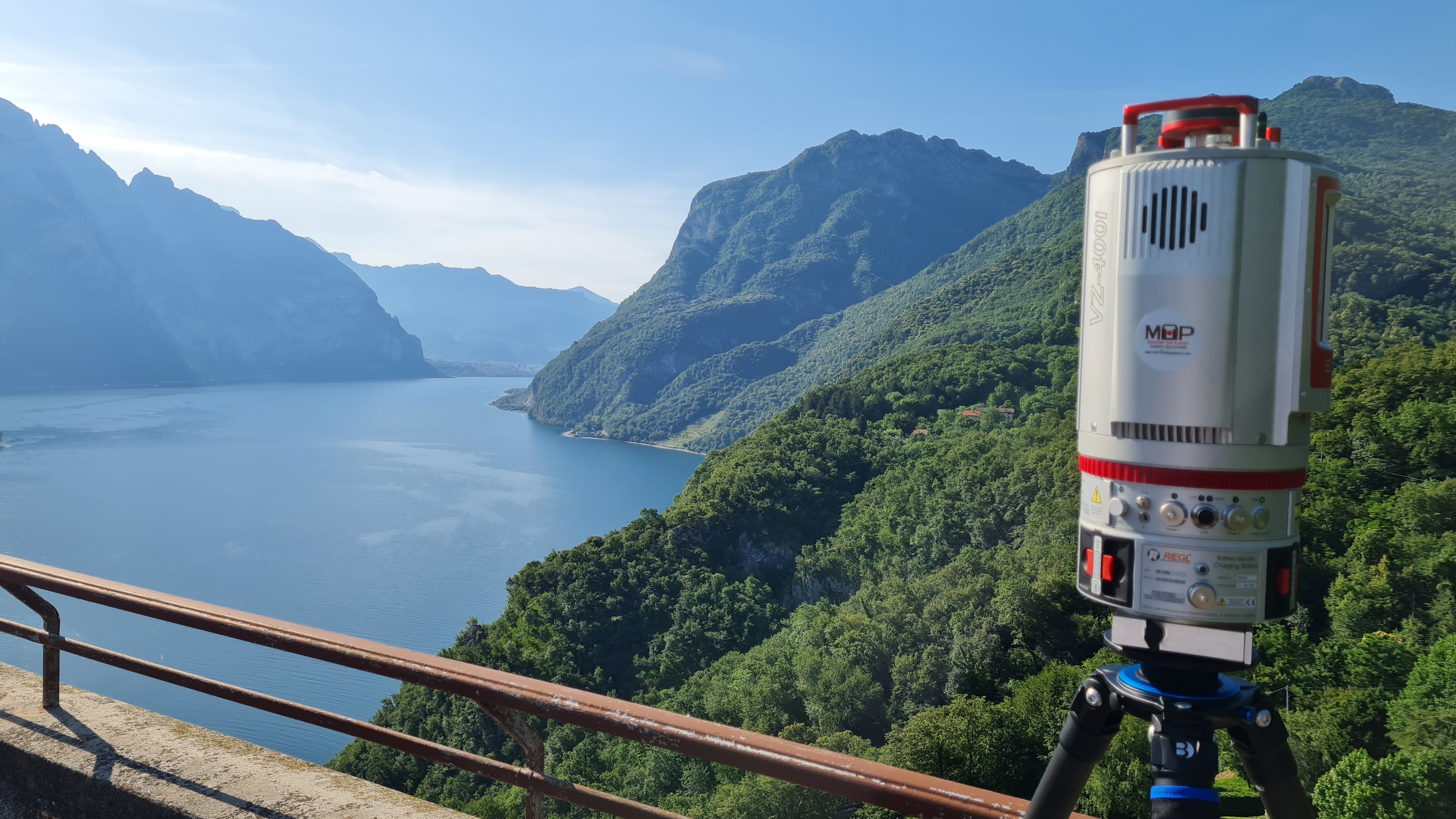
For the execution of the work was used the following instrumentation:
- Laser scanner RIEGEL VZ-400I
- Total station RTC360 Leicageosystems
- Mobile scannner GeoSLAM ZEB Horizon RT
- Drone
For the elaboration of the work the programs were used:
- Cyclone LeicaGeosystems
- Infinity LeicaGeosystems
- 3DR Hexagon
- PIX4D