12 October 2021
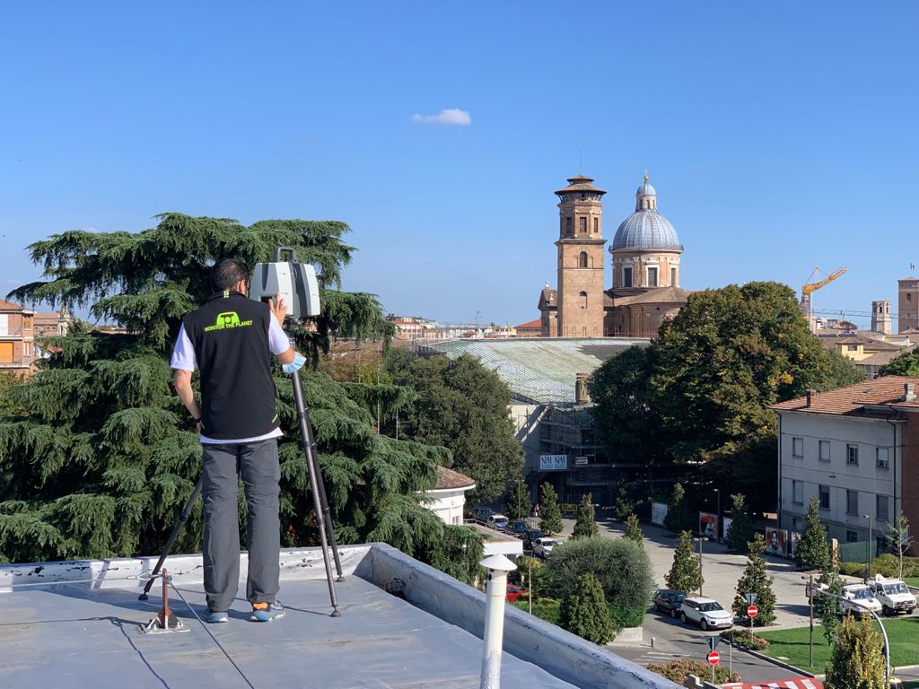
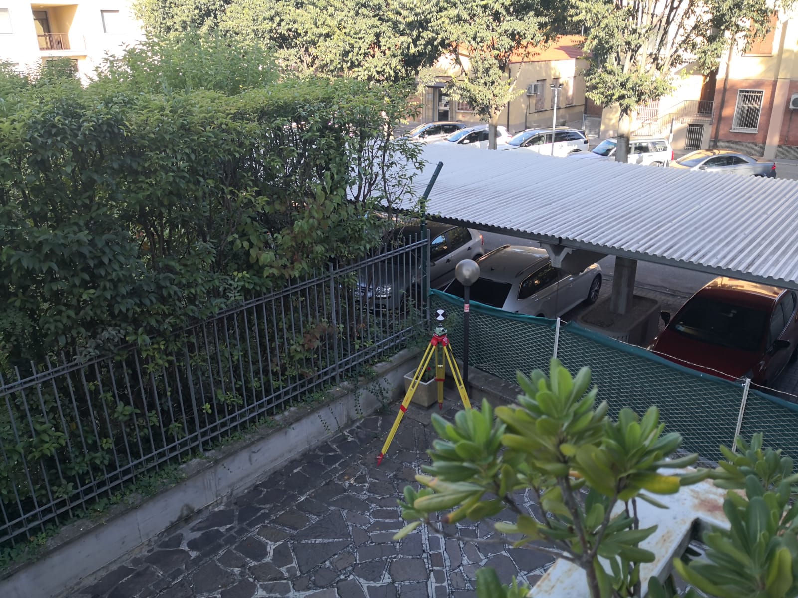
Five apartment buildings and a car park on the outskirts of Reggio Emilia
have been surveyed. External surveys were carried out with the help of
three-dimensional scanning laser apparatus with topographical support. The purpose of the assignment was to graphically
return plans, sections and elevations of the building in 2D with
3D modeling in Revit format for the acquisition of metric data for the contribution Superbonus 110%.
- Project: Condominium survey
- Client: Direct company
- Place: Reggio Emilia (RE)
For the execution of the work was used the following instrumentation:
For the elaboration of the work the programs were used:
- Cyclone LeicaGeosystems
- 3DR Hexagon
- Autodesk Revit