08 February 2023
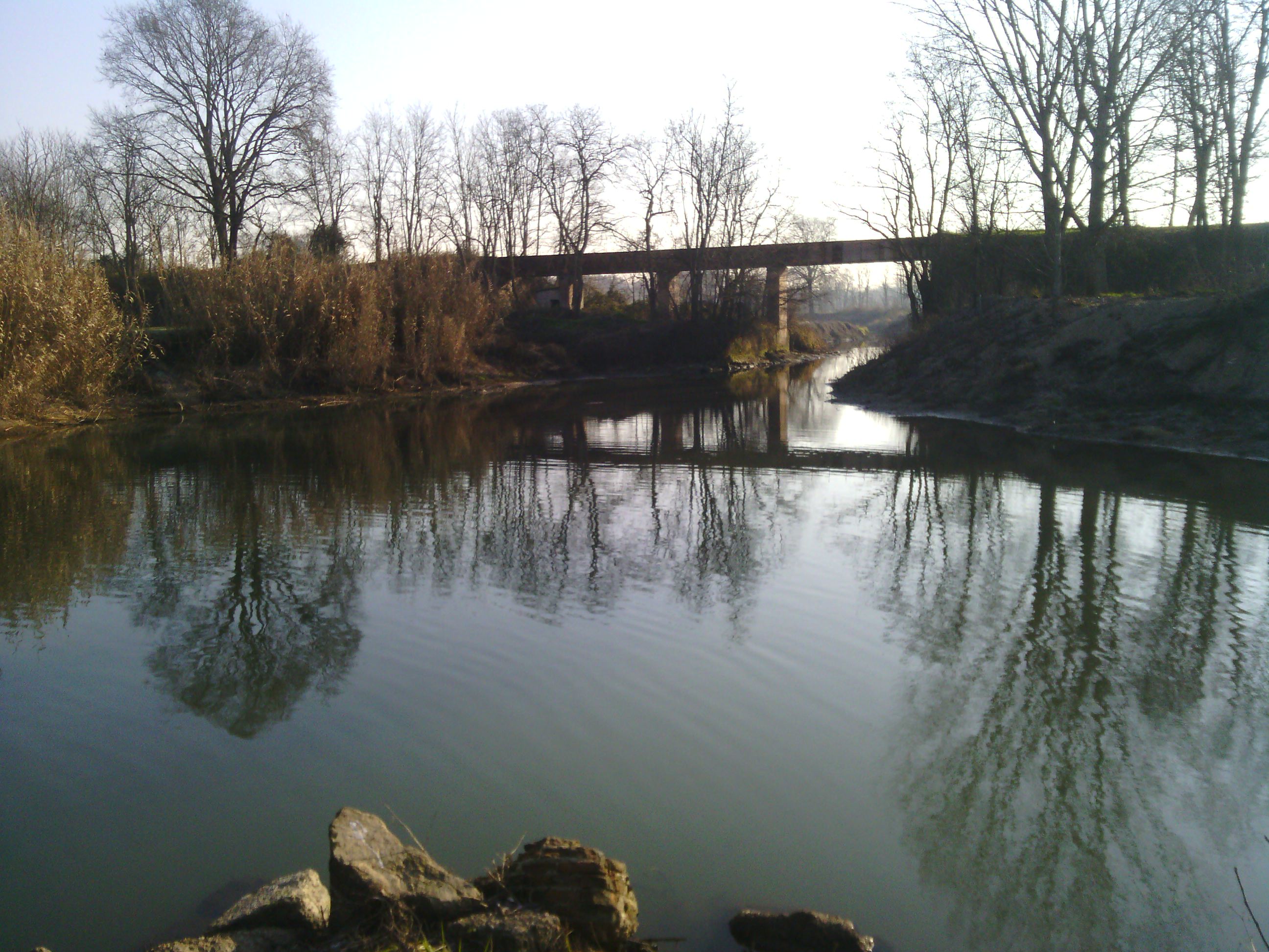
Three-dimensional surveys of the riverbed of the Roggione and Southern Olona canals,
of the crossing buildings (bridges, walkways, canal bridges),
of regulation (crossbeams, thresholds) and
of derivation or intake (inlets, drains) and
the artifacts present.
The data has been acquired with
cutting-edge technologies such as LIDAR, GPS, TPS and through bathymetry by means of echo sounder.
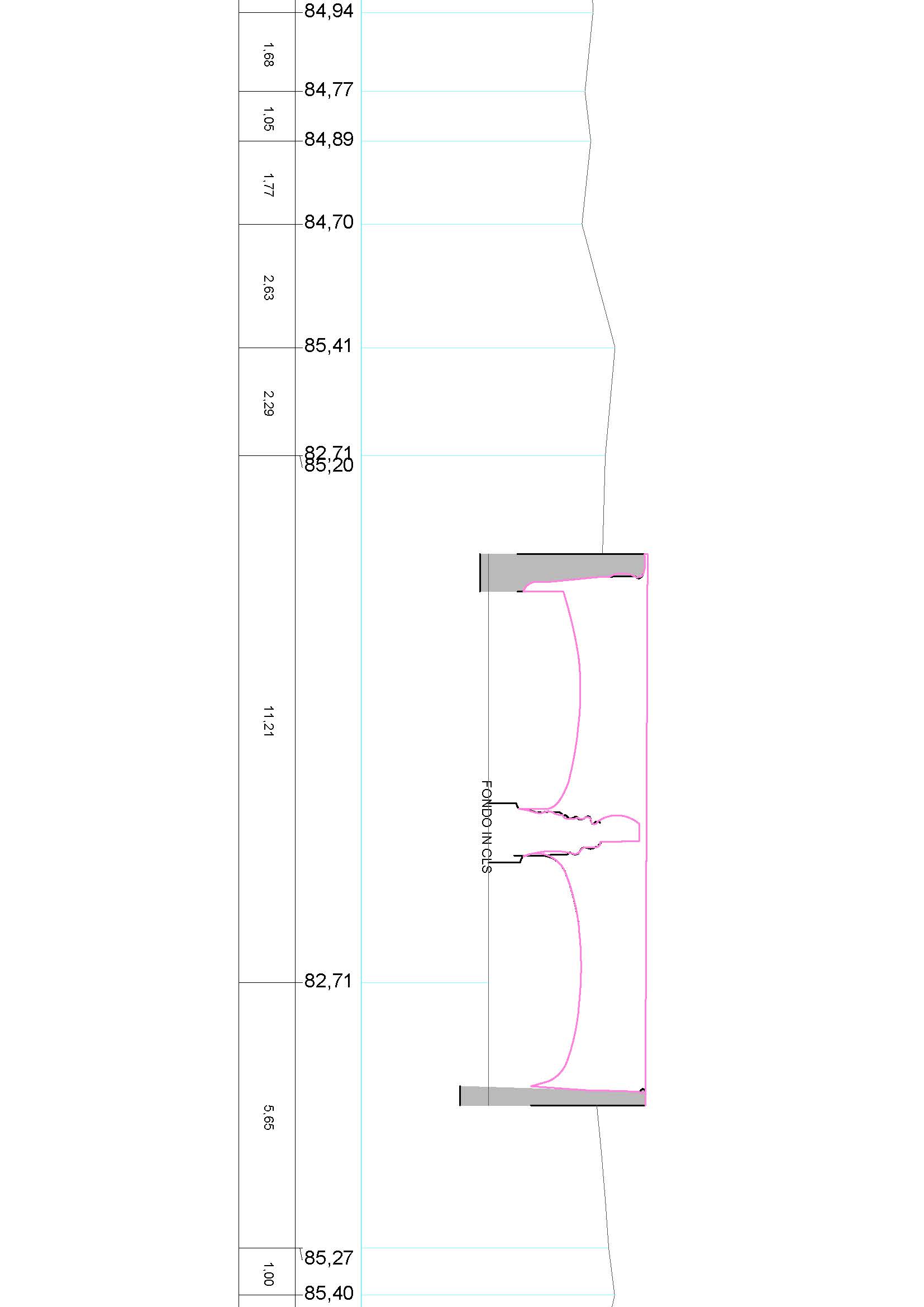
The purpose of the assignment was to
process and return the results in the form of sections of the survey object
in 3D digital format and t
wo-dimensional representations of dimensioned floor plans, of the longitudinal profile lengths.
In addition, it has been
returned graphically in vector format, containing the geolocalization, the
layout and cross sections in file shape.
- Project: Survey for hydraulic modeling
- Client: Direct company
- Place: Pavia (PV)
For the execution of the work was used the following instrumentation:
- Stazione totale RTC360 LeicaGeoSystems
- Laser Scanner Riegl VZ-400I
- Bathymeter
- GPS
For the elaboration of the work the programs were used:
- Cyclone LeicaGeosystems
- Infinity LeicaGeosystems
- 3DR Hexagon
- Road Sierra Soft