03 February 2022
Surveys of the state of fact of highways and road sections in the province of Milan have been carried out.
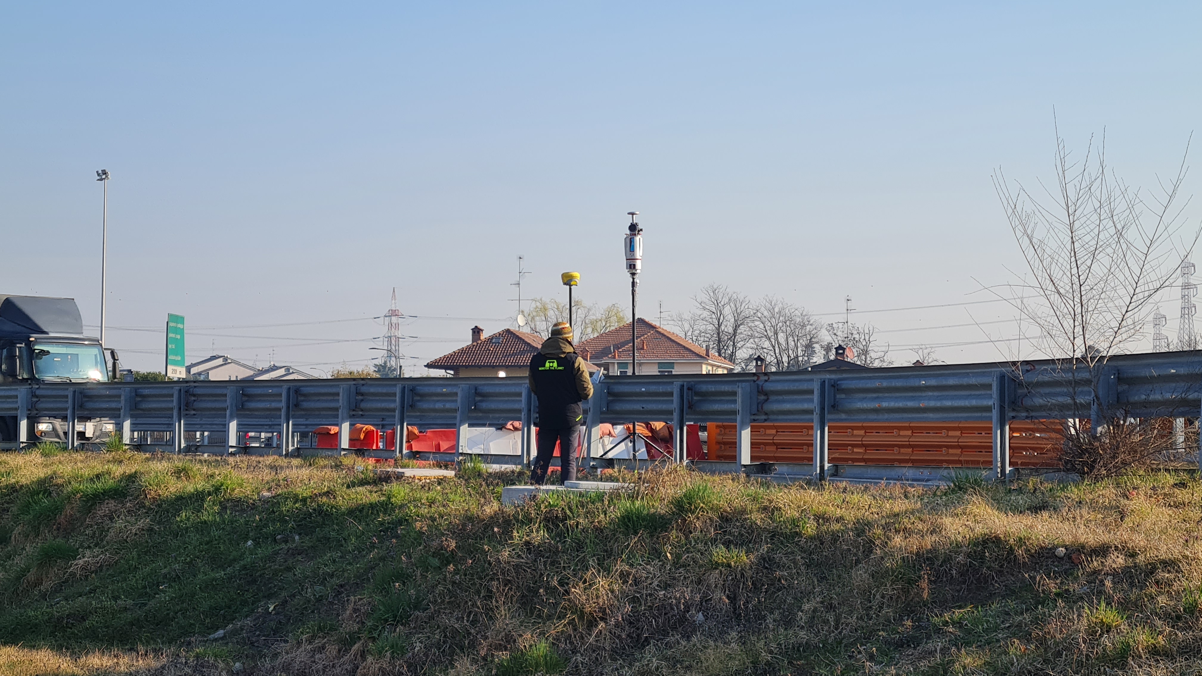
The measurements were carried out by means of a
three-dimensional scanning laser apparatus with the support of a total station and GPS with restion of the data in
three-dimensional plans and triangular model of the ground, deriving from the classification of the point cloud.
The purpose of the assignment was to acquire the
topographical data necessary for the drafting of
elaborate 3D floor plans for the start of the design of new works.
- Project: Highways surveys
- Client: Milano Serravalle Engineering
- Place: Milano
For the execution of the work was used the following instrumentation:
- Laser Scanner Riegl VZ400I
- GPS Zenith 40 e 35 Pro Geomax
For the elaboration of the work the programs were used:
- Cyclone Leica Geosystems
- 3DReshaper Hexagon
- XPAD Office Fusion