15 May 2022
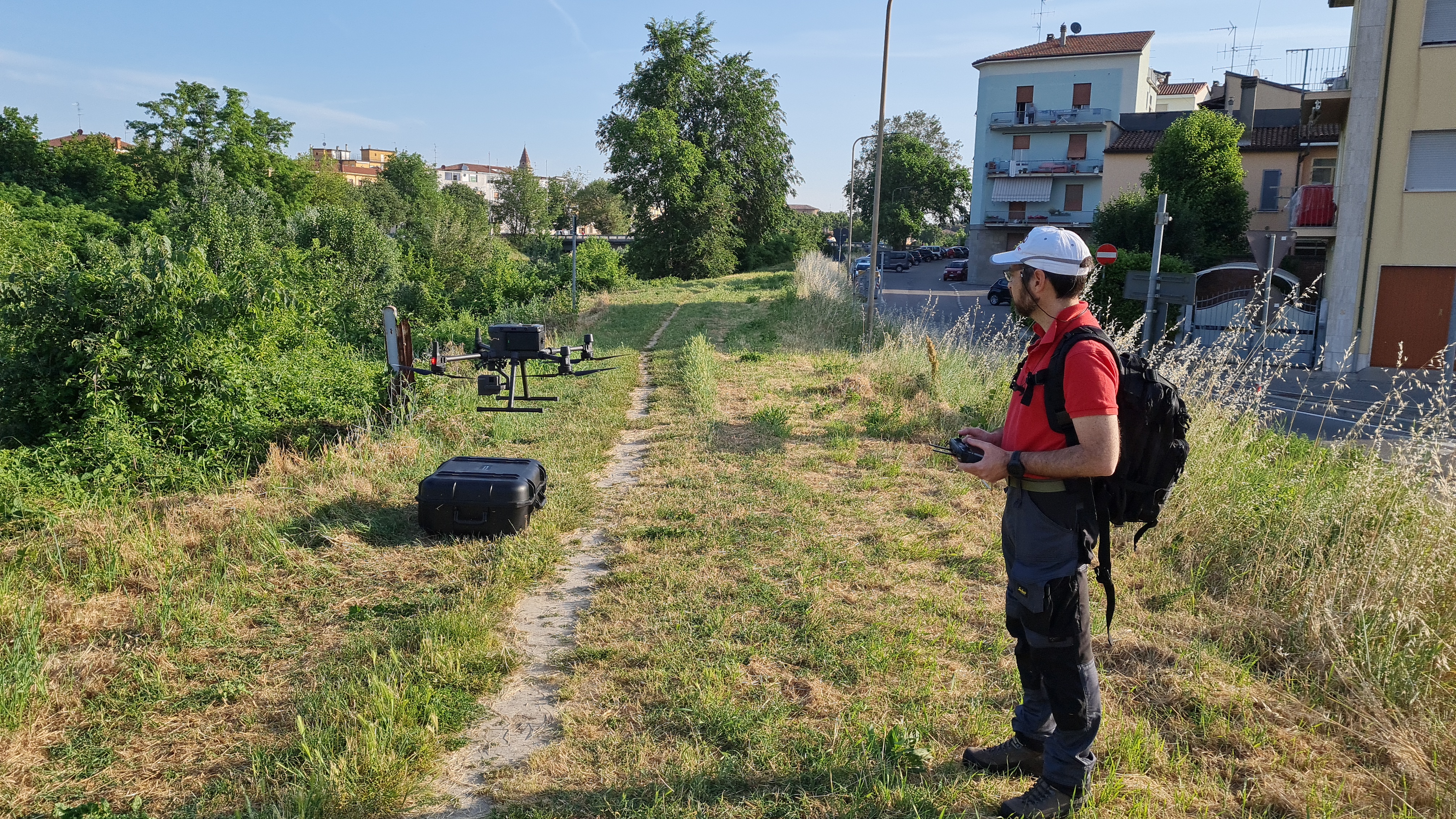
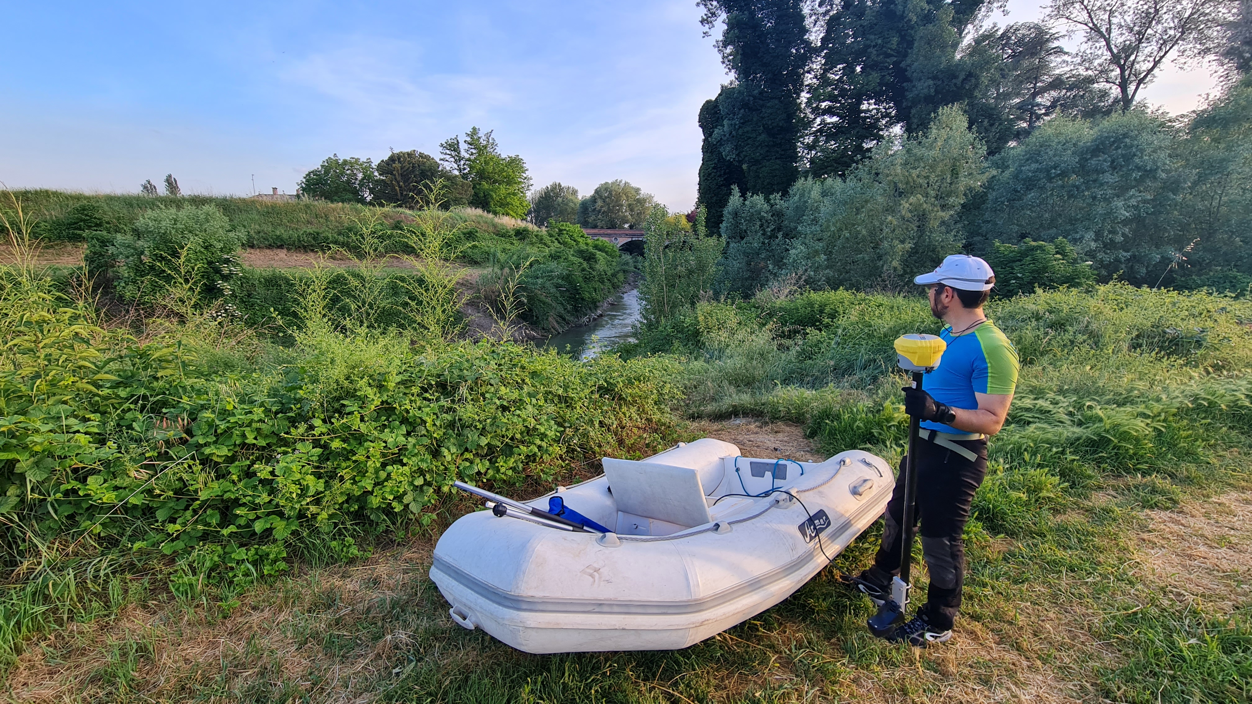
Three-dimensional scans were carried out with
different precision technologies including Laser Scanner, LIDAR drone, batimeter and mobile Laser Scanner
of the fluvial axis for a distance of about 2 km.
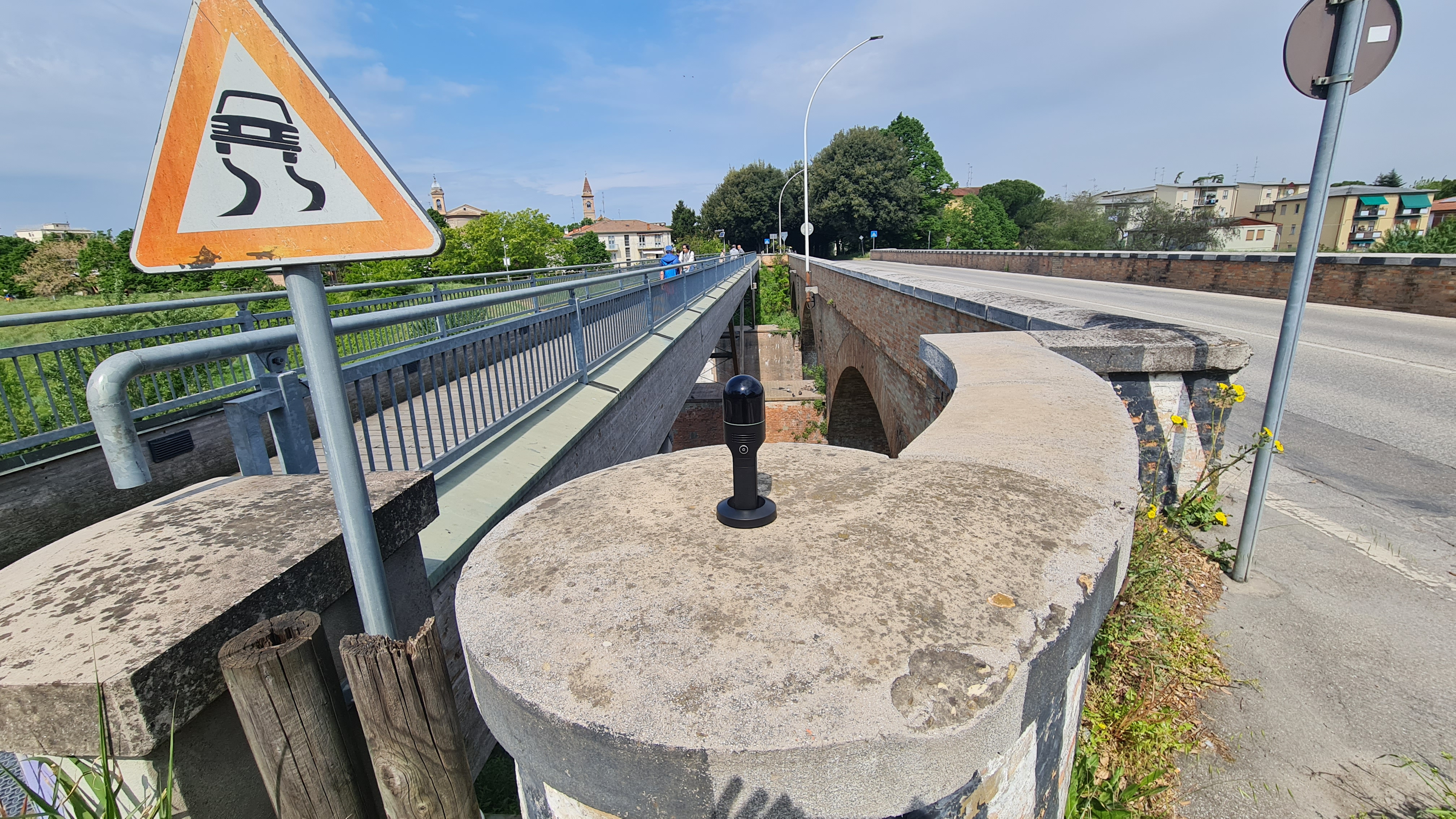
The purpose of the assignment was to provide
sections every 25-50 meters of the acquired path and return
prospectuses for each bridge that crossed the river or the Ponte della Grazie, the new bridge, the ring road bridge and the railway bridge.
- Project: River and structural survey
- Client: Unione Romagna Faentina
- Place: Faenza (RA)
For the execution of the work was used the following instrumentation:
- Total station RTC360 Leicageosystems
- Laser Scanner Riegl VZ400I
- Mobile Mapping BLK2GO LeicaGeoSystems
- Bathymeter
- Drone LIDAR
For the elaboration of the work the programs were used:
- Cyclone LeicaGeosystems
- Infinity LeicaGeosystems
- 3DR Hexagon
- PIX4D