22 March 2021
Redevelopment of areas protected by Unesco, with the support of cutting-edge technologies and 3D surveys.
In Nizza Monferrato in the province of Asti, the now obsolete technical data sheets of the land use plan are updated.
As for the color of the facades, instead of using the classic method of choosing a single color, it was decided to identify a specific color for each facade, so that anyone who needs to repaint can use these indications.
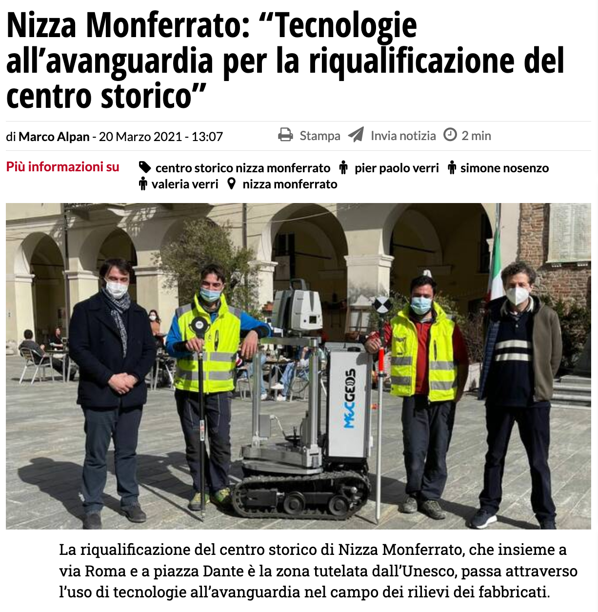
Deputy Pier Paolo Verri explains: “Our city is the first in Italy to make use of such sophisticated tools applied on such a large area”.
It refers to the equipment used by our Startup which also has an office in the Piedmontese town and has been commissioned for the work.
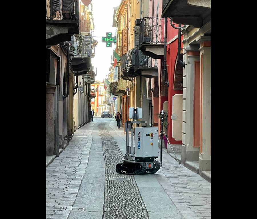
We used two-dimensional and three-dimensional surveys that use 3D laser scanner technology. The final result was not a single sampling but a wider overview.
"We have massively acquired everything there is through a terrestrial and aerial scan to create a database of information that can be used for individual requests and which remains in the data assets for subsequent and different analyzes", said Gianluca Palmieri of Monitor the Planet, illustrates the work of the team of our geomatics experts.
This highlights the multiplicity of fields of application of the services of Monitor the Planet, which also on this occasion exhibited its innovative robot.
With the support of MecGeos, the work was also more agile and effective. The robot was a valuable help to the technician on the field.
Source: The Asti online newspaper. ATnews.it