13 September 2022
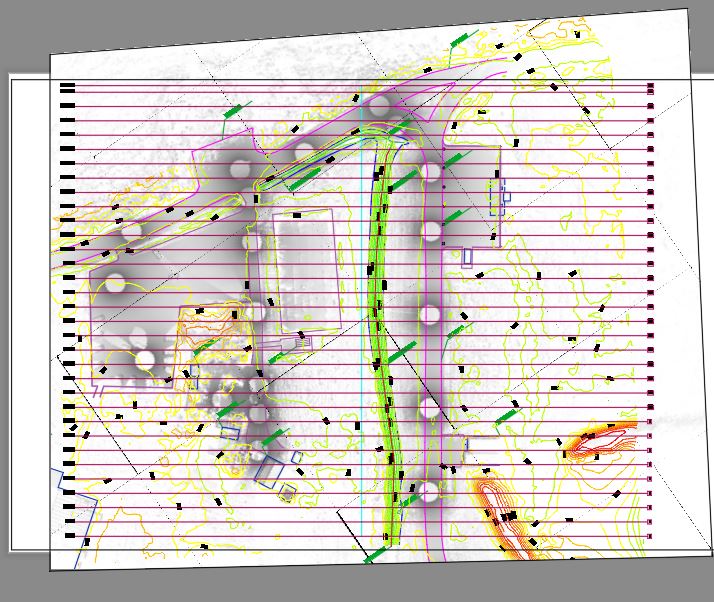
External topographic scans and measurements with topographical instruments were carried out for the identification and subsequent construction of a new field ammunition depot inside the base.
In addition to the external topographic survey, laser scanners were used for measurement integration and subsequent cleaning and filtering of the 'point cloud'.
Finally, the elaborated 2D modelling was delivered.
The purpose of the assignment was to provide a general plan of the area in question and relevant sections.
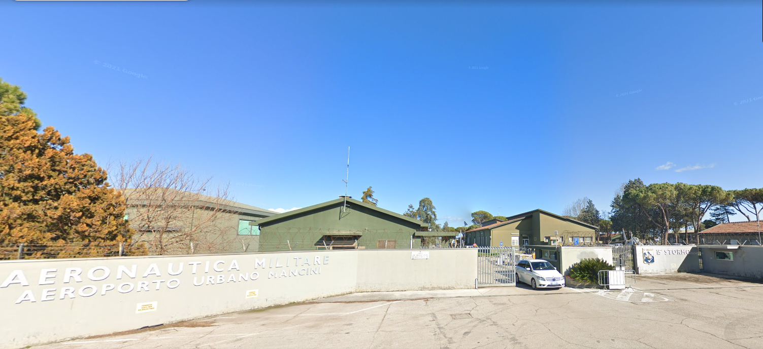
- Project: Topographical survey
- Client: Air Force Engineer Department
- Location: Pisignano - Cervia (RA)
The following instrumentation was used for the execution of the works
- LeicaGeoSystems RTC360 total station
- RIEGEL VZ-400i laser scanner
For the processing of the work the following programs were used: