31 March 2022
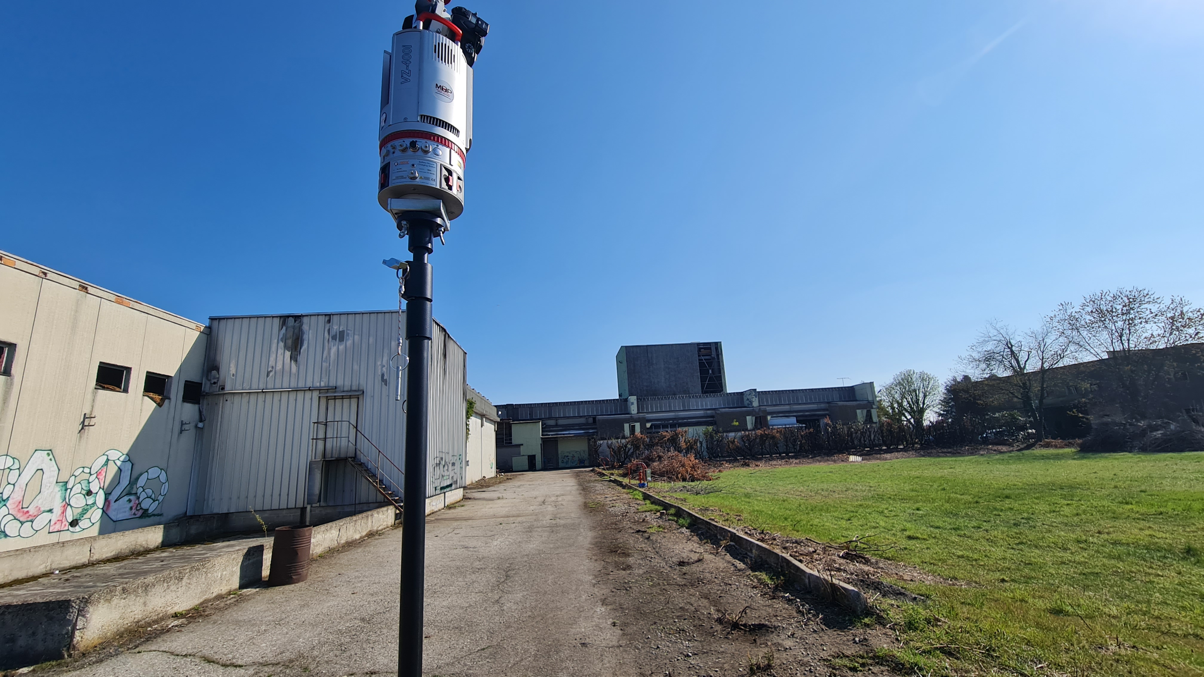
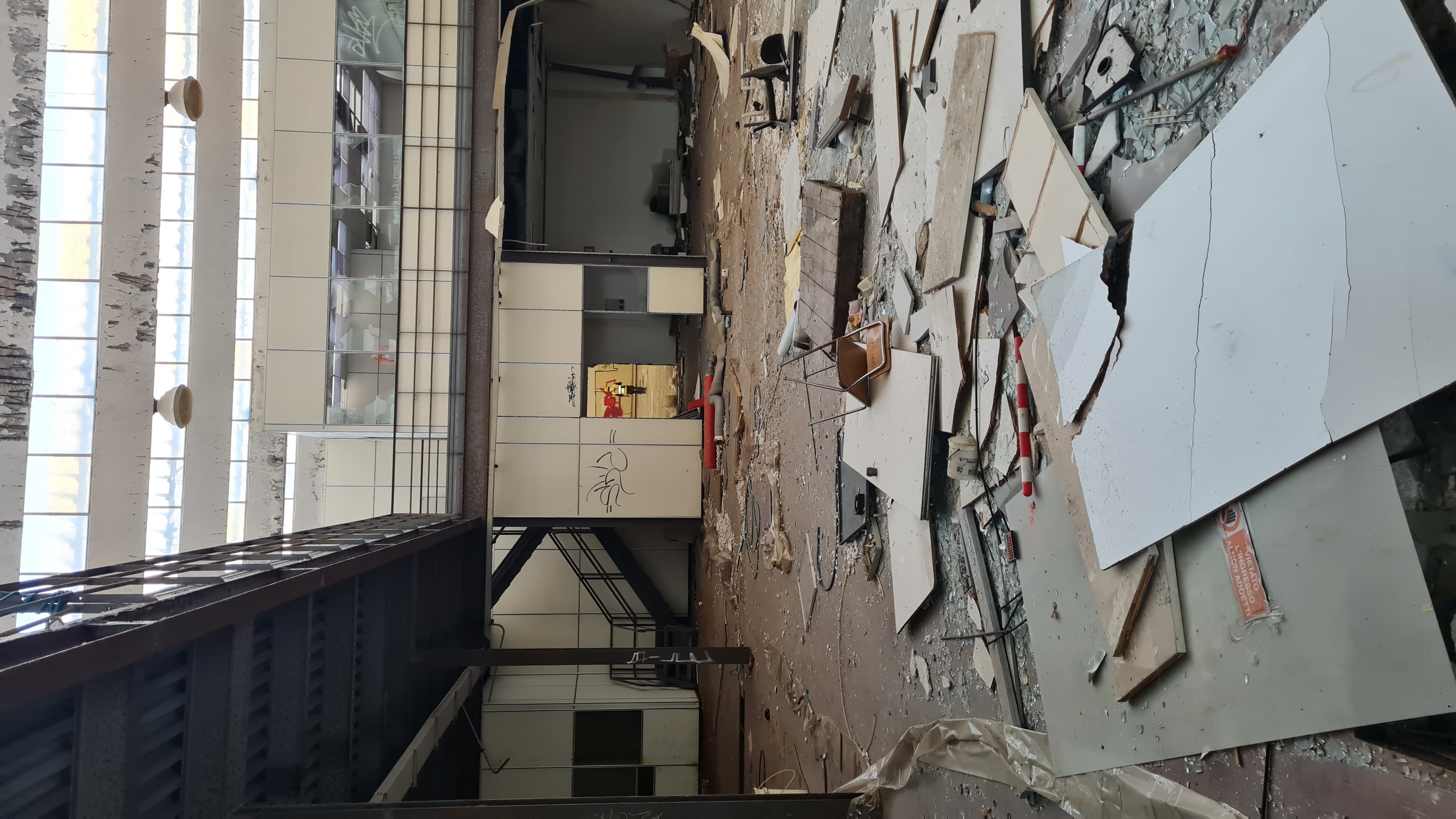
Scans were carried out inside and outside the buildings with the aid of instrumentation with laser scanner technology and equipment to support and return the "point cloud" generated by the survey of the building.
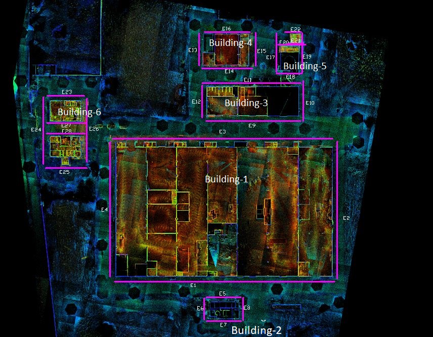
The aim of the assignment was to render in 2D the plans, elevations and sections relating to the buildings and annexes, the subject of the intervention.
- Project: Three-dimensional survey
For the execution of the work was used the following instrumentation:
- Total station RTC360 Leicageosystems
- Laser scanner RIEGEL VZ-400i
For the elaboration of the work the programs were used: