01 February 2024
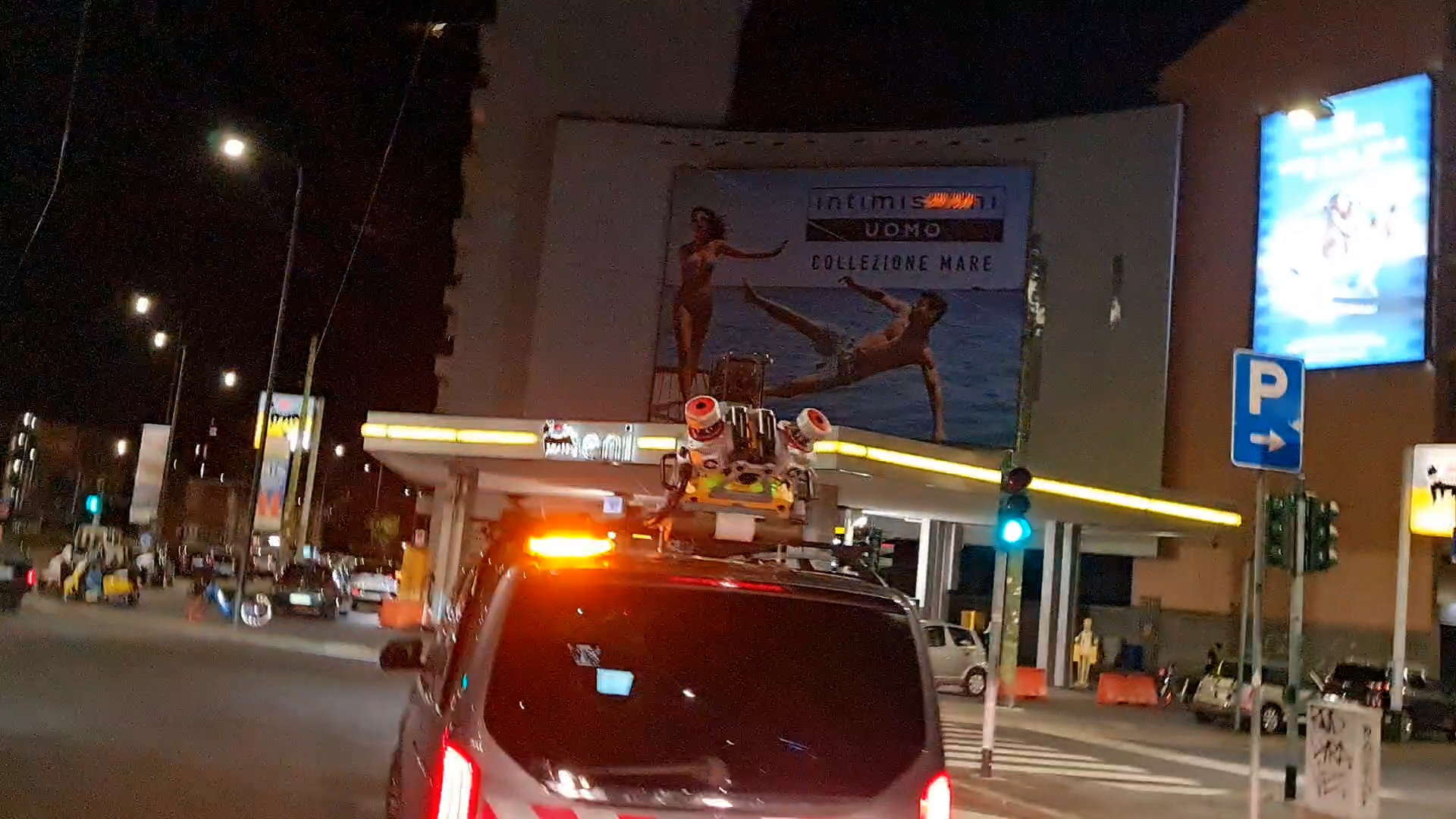
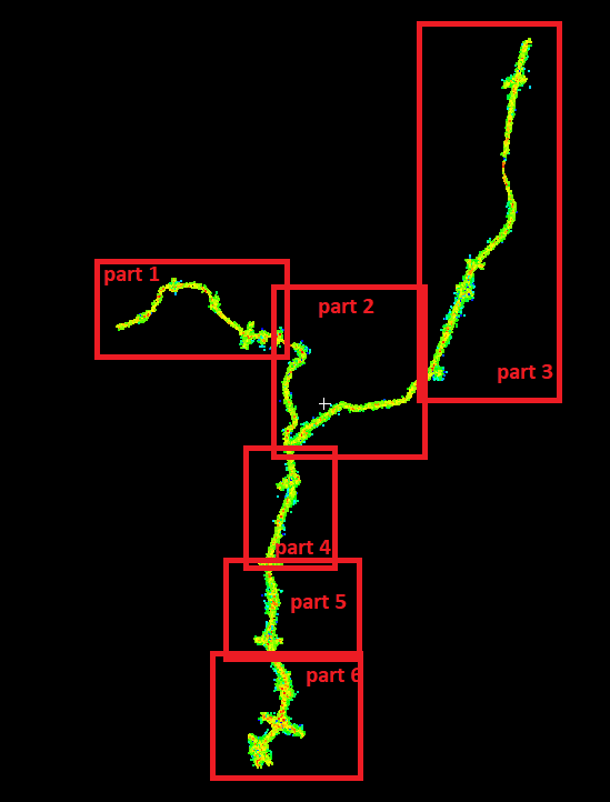
Our team was chosen for this important project that provided for the study of the cartographic material in possession of the client company and the return of 3D polylinees and asphylated models and 100 km land for the A51 and A52 motorways detected in one night.
The survey on the field was planned after an accurate analysis of the cartography, the existing coordinate system and an accessibility verification.
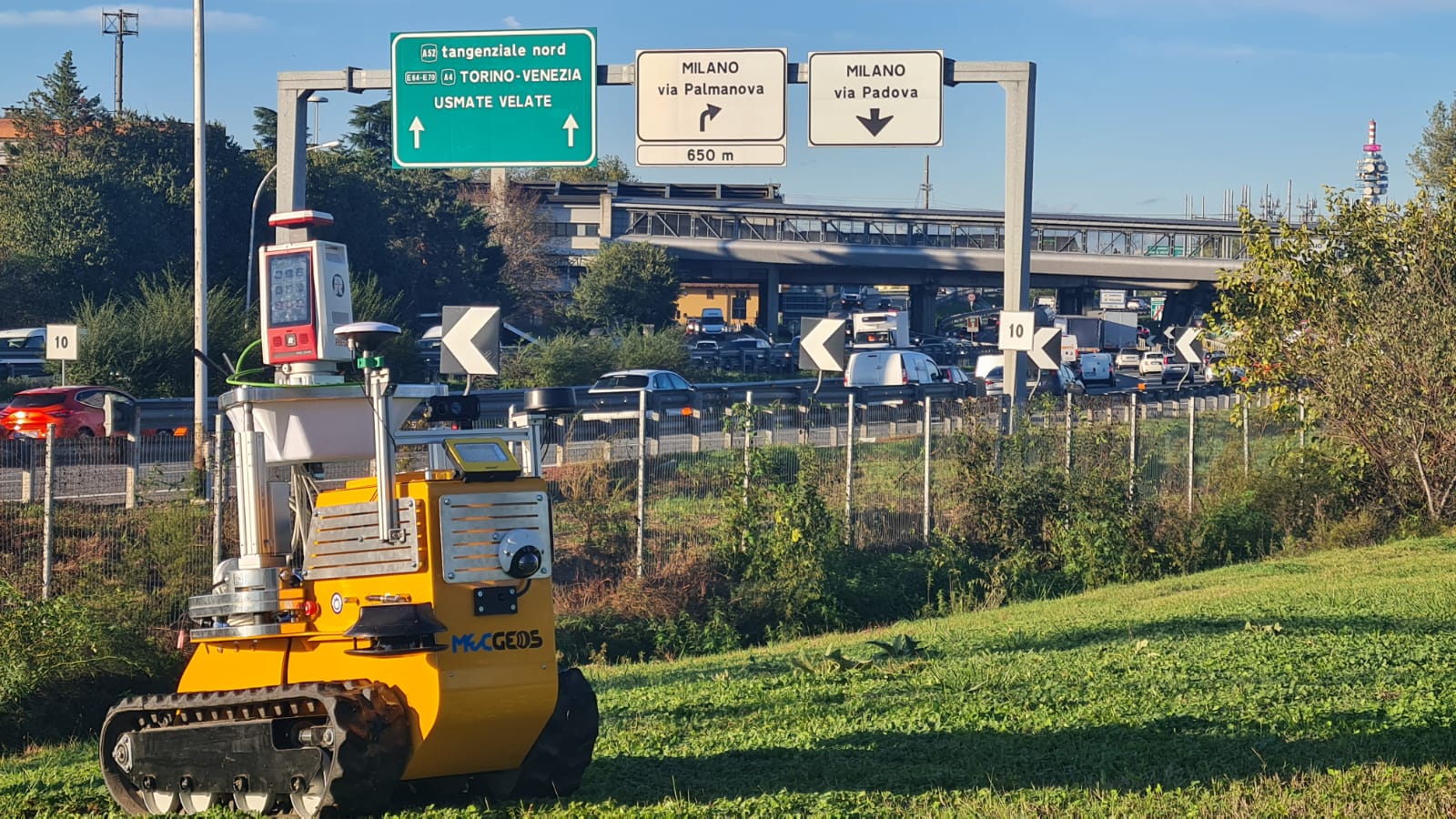
The Mecgeosv3 robot reached some points and has independently performed 3D scans.
The data processing phase was performed by calculating and the use of data extraction tools directly from the overall points cloud generated.
- Project: Topographic survey and data verification of an Italian company that operates in the concession management sector of motorway sections.
- Client: Milano Serravalle - Milano Tangenziale S.p.A.,
- Location: Milan
The following equipment was used to carry out the work:
- GPS
- Mobile Mapping System: chosen for speed in 3D surveying.
- Laser Scanner Riegl VZ 400i and Riegl VZ 600i
The following programs were used to process the work:
- Topodot
- Riscan Pro
- Leica 3DReshaper
Geosolvo® Solutions
- Self-driving APP
- Robot MecGeos V3 to automate 3D survey