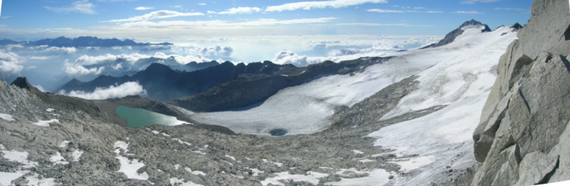
Surveys for the glacier shrinking and climatic changes
Geomatic Engineering by innovative methodologies and technologies.
In order to combine the effects of climate change with concrete causes, we provide support for glaciological measurements and the realities that require a historical photographic and scientific research comparison.