MAKE LAND MAPPING SAFE AND SIMPLE
--
MONITOR THE PLANET
SURVEYING AND MAPPING
Espandi barra di navigazione
Menu
Services
Business Sectors
Tecnology and Software
MecGeos
blog
Careers
Italiano
Inglese
Italiano
Inglese
Home
Services
Nautical monitoring
Nautical monitoring
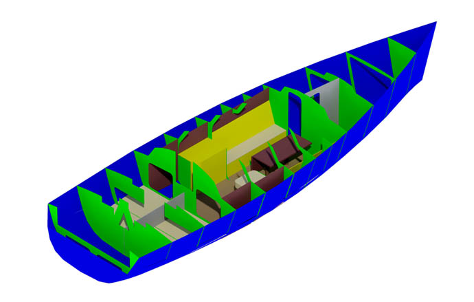
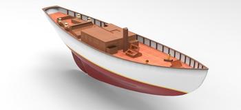
Geomatic Engineering by innovative methodologies and technologies.
We carry out
2D and 3D measurements and documentation
to ensure the construction and modification of high-quality boats, sailboats and yachts, through laser scanner surveys.
Fields of application:
Surveys from boats
Marine Industry
Industrial facilities
Services list
Get a quote
Name
*
Surname
*
E-mail
*
@
Message
I have read and agree to the
Privacy Policy
I AGREE
I DO NOT AGREE
I would like to stay updated on technical and commercial news.
Could be interesting to you
3D processing for shipyards