Through the use of high-precision technological gauges, we monitor and control all the parameters necessary for comparing the historical and periodic data of the artifacts.
We design and implement monitoring systems aimed at the periodic, or continuous, control of the deformations of the structures deriving from exogenous actions such as exceptional rain, snow, thermal excursion, wind, flood, flood and / or landslide, or endogenous events such as earthquake and / or vulcanic eruption.
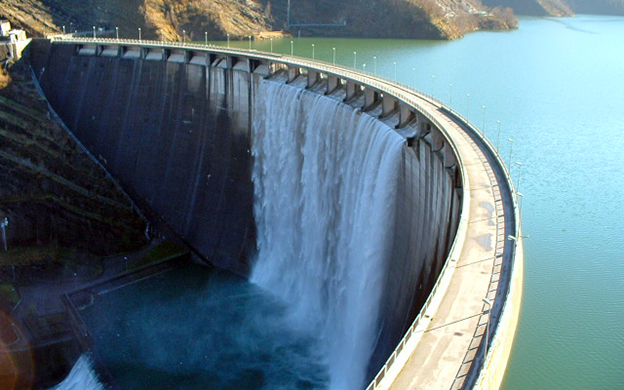
Through the use of
high-precision technological gauges, we monitor and control all the parameters necessary for comparing the
historical and periodic data of
the artifacts.
We design and implement monitoring systems aimed at the periodic, or continuous, control of the deformations of the structures deriving from exogenous actions such as exceptional rain, snow, thermal excursion, wind, flood, flood and / or landslide, or endogenous events such as earthquake and / or vulcanic eruption.