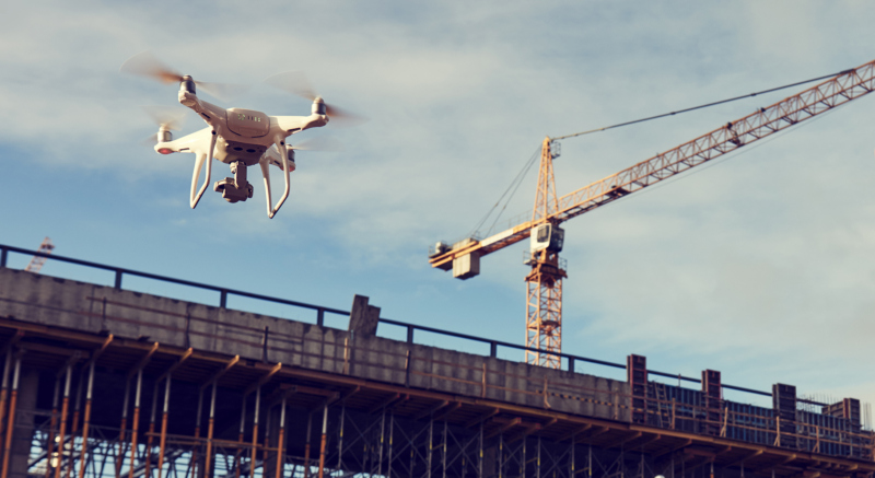
We use state-of-the-art technologies (laser scanner and drone) in order to carry out visual inspections to verify states of structural degradation in crevices and otherwise unreachable places, for civil structures, bridges, infrastructures. We verify the geometries of the buildings, to identify degradations, voids and hidden structures, define the thickness of walls and floors and create a stratigraphy of the same.
We carry out checks at regular intervals by returning reports and detailed reports deriving from photos and data collected.
We use state-of-the-art technologies (laser scanner and drone) in order to carry out visual inspections to verify
states of structural degradation in crevices and otherwise unreachable places, for civil structures, bridges, infrastructures.
We verify the geometries of the buildings, to identify degradations, voids and hidden structures, define the thickness of walls and floors and create a stratigraphy of the same.We carry out checks at regular intervals by returning
reports and detailed reports deriving from photos and data collected.