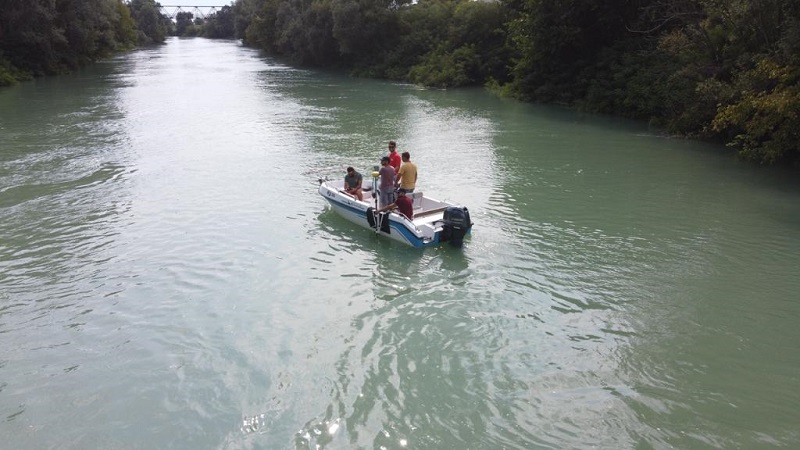
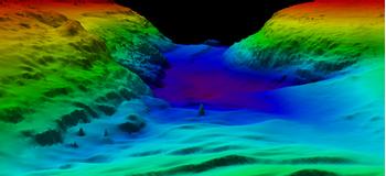
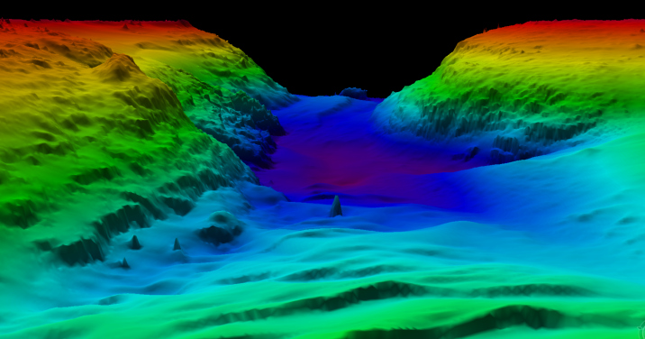
The applications are endless, our experts can collect data for structures like piping, single vessels and entire plants, as well as topographies, including single and multi-lane roads, intersections and bridges.
Laser scanning offers several advantages over traditional survey methods.
- Lower cost topographic surveys, due to faster data collection and shorter project cycle times.
- Reduction or elimination of costly return visits to the site
- Reduced facility downtime, as a result of the unobtrusive scanning procedure
- Scan data can be delivered via a complementary viewer 3D CAD and in a variety of laser scan formats that can be manipulated by the client.

