We measure with three-dimensional technologies for the purpose of comparison with the historical data deposited with the authorities, so as to give feedback on the actual differences between the state of fact and the authorized status of the works. The laser scanner methodology, combined with other techniques or even individually, following technical considerations and graphic elaborations allows to extract and elaborate the classic 2d tables (plans, elevations, sections) fundamental for the comparison of the state of affairs when it comes to amnesties .
Unlike traditional surveys, the potential is different, eg obtaining 3D or BIM drawings, also during the measurement operations of a building, without additional operations, all that is present is also detected.
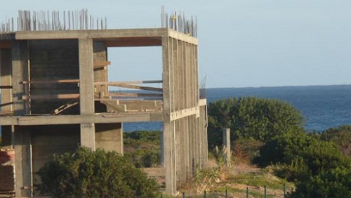
We measure with three-dimensional technologies for the purpose of
comparison with the historical data deposited with the authorities, so as to give feedback on the actual differences between the state of fact and the authorized status of the works. The laser scanner methodology, combined with other techniques or even individually, following technical considerations and graphic elaborations allows to extract and elaborate the classic 2d tables (plans, elevations, sections) fundamental for the comparison of the state of affairs when it comes to amnesties .
Unlike traditional surveys, the potential is different, eg obtaining 3D or BIM drawings, also during the measurement operations of a building, without additional operations, all that is present is also detected.