MAKE LAND MAPPING SAFE AND SIMPLE

--

logo monitor the planet

MONITOR THE PLANET

SURVEYING AND MAPPING

Agricultural monitoring

Geomatic Engineering by innovative methodologies and technologies.

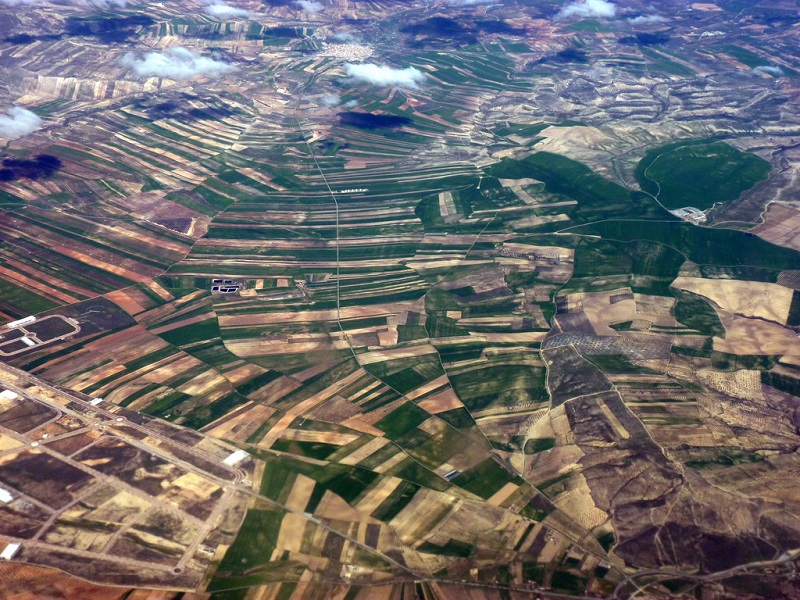
Through topographical and aerial GPS systems, we are able to locate, identify and process data that allow us to calculate information and predict solutions in periodic terms in order to make the land more productive and calibrate the use of resources such as water, fertilizers and pesticides.
Fields of application:
Agriculture

Get a quote

@

I have read and agree to the Privacy Policy

I would like to stay updated on technical and commercial news.